Hamlin
Border town along the Saint John River
Weather in Hamlin
Loading the forecast…
 Your logo here
This page could be sponsored
Your business name here
Sponsor This Page
Hamlin is a rural town in northeastern Aroostook County, Maine, situated along the Canada–United States border across from Grand Falls, New Brunswick. Named after Abraham Lincoln's first vice president, Hannibal Hamlin, this agricultural community sits at the eastern end of the St. John Valley Cultural Byway.
Community Overview
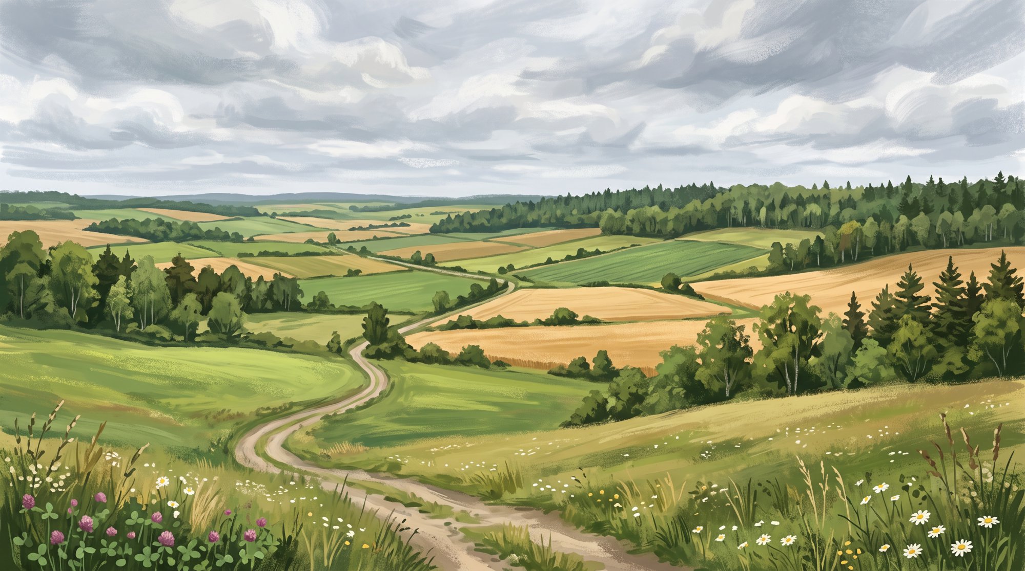
Hamlin Maine is a rural town located in northeastern Aroostook County, Maine, along the Canada–United States border across from Grand Falls, New Brunswick. The town sits at an elevation of 659 feet above sea level and covers a total area of 24.04 square miles, consisting of 23.35 square miles of land and 0.69 square miles of water. The Saint John River borders Hamlin along the Maine–Canada boundary. Just north of the local border crossing in the St. John River channel, the international boundary transitions from the 78-mile straight overland 'North Line' to following the centerline of the St. John River.
At the 2010 census, Hamlin had 219 residents, 96 households, 68 families, and a median age of 54.8 years. The population decreased to 166 residents by the 2020 census, representing a decline of approximately 24.2 percent. The 2020 census also recorded 99 housing units. As of July 1, 2025, the U.S. Census Bureau estimated the resident population at 162. The Hamlin Town Office serves as a municipal facility and voting location at 588 Hamlin Road, and the town is served by ZIP code 04785.
Local Economy and Education
Agriculture serves as the primary source of work and economic activity in Hamlin. Across Aroostook County as a whole, the largest employment sectors are health care and social assistance, retail trade, and educational services. For road maintenance, the Maine Department of Transportation allocated $3,088 in Local Road Assistance funding to Hamlin for Fiscal Year 2026.
Public education services are provided through Maine School Administrative District No. 24 (MSAD #24 / RSU #88), which serves Hamlin, Cyr Plantation, and the neighboring border community of Van Buren. Local students attend the Van Buren District School, and Hamlin holds representation on the RSU 88 board alongside Van Buren.
Travel and Border Crossing
U.S. Route 1A serves as the primary highway corridor passing through Hamlin, connecting the town south toward Limestone and north directly into Van Buren, where it meets U.S. Route 1. Hamlin also marks the eastern end of the St. John Valley Cultural Byway, which follows routes including Route 1A along the Saint John River.
U.S. Customs and Border Protection operates the Hamlin Station land port of entry at 200 Boundaryline Road to manage traffic between Hamlin and Grand Falls, New Brunswick. The inspection station operates from 6:00 a.m. to 6:00 p.m. Travelers reach the border via Boundaryline Road on the U.S. side and New Brunswick Route 218 on the Canadian side.
Recreation and Heritage
The Saint John River offers carry-in boating access as well as fishing for brook trout and landlocked salmon. Within the town, the Maine Bureau of Parks and Lands administers public reserved lands as part of the state's Northern Aroostook Region management plan. During winter, snowmobilers can travel between Hamlin and Grand Falls through the border port of entry to connect with New Brunswick Trail #111.
Acadian heritage is visible through several historic structures associated with Hamlin. The Roosevelt School, built in 1933 as a one-room schoolhouse, was listed on the National Register of Historic Places in 2007 and serves as the Hamlin Town Hall. Supported by the Maine Acadian Heritage Council as a heritage destination, it also hosts town meetings and elections. Other historic buildings that originally stood in or near Hamlin were relocated to the Acadian Village open-air folk museum in neighboring Van Buren: the Rossignol Barn (an Acadian barn made with small round wood squared on one side of the roof), the David St. Amand School (also known as the Hamlin Schoolhouse, used from the 1880s to 1952), and the Roy House (a 19th-century example of Acadian pièce-sur-pièce log construction joined with stacked and pegged trunnels).
Town Services
Emergency medical response and fire protection in Hamlin are provided by the Van Buren Fire and Ambulance departments. Law enforcement coverage is provided by the Maine State Police and the Aroostook County Sheriff's Office. For hospital services, emergency medical transports from Hamlin go to Cary Medical Center in nearby Caribou, Maine.
History of Hamlin
In 1843, the area was first organized from Township Letter G, Range 1, as part of Van Buren Plantation. The community was later set off from part of Van Buren Plantation and organized as Hamlin Plantation in 1859, drawing its name from Maine native Hannibal Hamlin, who served as Abraham Lincoln's first vice president. Years later, in 1907, Hamlin set off a portion of its land to the neighboring town of Van Buren.
Education remained central to community life, and from 1933 to 1951, the historic Roosevelt School served as Hamlin's District No. 2 schoolhouse, replacing an earlier school building. Formerly organized as Hamlin Plantation, the community was officially incorporated as a town in 1976.
See the history facts and their sources in Quick facts below.
Quick facts
·
Population
- 2010 Census Households
- At the 2010 census, Hamlin had 96 households and 68 families living in the town.[1]
- 2010 Census Median Age
- At the 2010 census, the median age for residents of Hamlin was 54.8 years.[1]
- 2010 to 2020 Population Change
- Hamlin's population decreased from 219 residents at the 2010 census to 166 residents at the 2020 census, representing a decline of approximately 24.2%.[1]
- 2020 Census Population
- Hamlin town recorded a total population of 166 at the 2020 Decennial Census.[2]
- 2020 Census Population
- According to the 2020 Decennial Census Table P1, the total population of Hamlin town, Aroostook County, Maine was 166.[3]
- 2020 Total Housing Units
- The U.S. Census Bureau recorded a total of 99 housing units in Hamlin town in the 2020 census.[4]
- 2025 Population Estimate
- According to the U.S. Census Bureau's Population Estimates Program, the resident population estimate for Hamlin town was 162 as of July 1, 2025.[5]
History (7)
- Incorporation Year
- Formerly organized as Hamlin Plantation, Hamlin was incorporated as a town in 1976.[6]
- Organization as Hamlin Plantation
- The community was set off from part of Van Buren Plantation and organized as Hamlin Plantation in 1859.[7]
- Original Organization
- In 1843, the area was first organized as part of Van Buren Plantation from Township Letter G, Range 1.[7]
- Roosevelt School
- The historic Roosevelt School served as Hamlin's District No. 2 schoolhouse from 1933 to 1951, replacing an earlier school building.[8]
- Territory Transfer to Van Buren
- Hamlin set off a portion of its land to the neighboring town of Van Buren in 1907.[7]
- Town Incorporation
- Hamlin was officially incorporated as a town in 1976.[7]
- Town Namesake
- The town draws its name from Maine native Hannibal Hamlin, who served as Abraham Lincoln's first vice president.[8]
Government (1)
- Postal Code
- The town office and community of Hamlin are served by ZIP code 04785.[9]
Schools (3)
- Historic School Building
- The Roosevelt School, built in 1933 in Hamlin, is a former one-room schoolhouse that was listed on the National Register of Historic Places and later repurposed as the Hamlin Town Hall.[10]
- RSU Representation
- Under Maine Department of Education regional school unit apportionment, Hamlin is represented on the RSU 88 board alongside Van Buren.[11]
- School District Serving Hamlin
- Hamlin is served by Maine School Administrative District No. 24 (MSAD #24 / RSU #88), which provides primary and secondary education for the communities of Van Buren, Hamlin, and Cyr Plantation.[12]
Economy (5)
- Education sector administration
- Hamlin participates in Maine School Administrative District No. 24 (MSAD 24), which provides public education services to local students through the Van Buren District School.[1]
- Federal employer and port operations
- U.S. Customs and Border Protection operates the Hamlin Station border crossing facility, which manages traffic between Hamlin and Grand Falls, New Brunswick.[13]
- Local road infrastructure assistance
- The Maine Department of Transportation allocated $3,088 in Local Road Assistance funding to Hamlin for Fiscal Year 2026.[14]
- Primary industry
- Agriculture serves as the primary source of work and economic activity in Hamlin, typical of many towns throughout Aroostook County.[15]
- Regional leading employment sectors
- For Aroostook County as a whole, the largest employment sectors are health care and social assistance, retail trade, and educational services.[16]
Landmarks (1)
- Roosevelt School
- Constructed in 1933, the Roosevelt School is a historic former one-room schoolhouse that later served as the Hamlin Town Hall. It was listed on the National Register of Historic Places in 2007 for its architectural significance and association with rural education.[17]
Recreation (3)
- Cross-border snowmobile trail connection
- Snowmobilers can cross the international border between Hamlin, Maine, and Grand Falls, New Brunswick, via the Hamlin border port of entry connecting to New Brunswick Trail #111.[18]
- St. John River recreational fishery and access
- The Saint John River borders Hamlin along the Maine–Canada boundary, offering carry-in boating access and fishing for brook trout and landlocked salmon.[19]
- State public reserved lots in Hamlin
- The Maine Bureau of Parks and Lands administers public reserved lands within Hamlin as part of the state's Northern Aroostook Region management plan.[20]
Culture (6)
- Acadian Barn Relocated to Acadian Village
- The Rossignol Barn, a historic Acadian barn built from small round wood squared on one side of the roof, originally stood in Hamlin before being relocated to the Acadian Village living history museum in neighboring Van Buren.[21]
- Hamlin Schoolhouse at Acadian Village
- The David St. Amand School (also known as the Hamlin Schoolhouse), in use from the 1880s until 1952, was originally located in Hamlin before being moved to the Acadian Village open-air folk museum.[21]
- Roosevelt School Acadian Heritage Role
- The Roosevelt School in Hamlin is featured as a designated heritage destination supported by the Maine Acadian Heritage Council and serves as a site for town meetings and elections.[22]
- Roosevelt School National Register Listing
- Built in 1933, the Roosevelt School is a historic former one-room schoolhouse in Hamlin that was listed on the National Register of Historic Places in 2007 and serves as the Hamlin Town Hall.[23]
- Roy House Acadian Architecture
- The Roy House, an example of 19th-century Maine Acadian pièce-sur-pièce log construction joined with stacked and pegged trunnels, was moved from near Hamlin to the Acadian Village folk complex.[24]
- St. John Valley Cultural Byway Terminus
- Hamlin marks the eastern end of the St. John Valley Cultural Byway, a scenic route celebrating the region's Acadian traditions, history, and multicultural heritage along the Saint John River.[25]
Transportation (5)
- International Border Crossing Access
- Hamlin connects to Grand Falls, New Brunswick, via Boundaryline Road on the U.S. side and New Brunswick Route 218 on the Canadian side.[26]
- Land Port of Entry Inspection Station
- The U.S. Customs and Border Protection land port of entry in Hamlin operates at 200 Boundaryline Road and runs from 6:00 a.m. to 6:00 p.m.[27]
- Primary Highway Route
- U.S. Route 1A serves as the primary highway corridor passing through Hamlin, connecting the town south toward Limestone and north toward Van Buren.[28]
- Scenic Byway Network
- Hamlin is part of the St. John Valley Cultural Byway corridor, which follows routes including Route 1A through northern Aroostook County.[29]
- State Highway Network Connection to Van Buren
- U.S. Route 1A runs north from Hamlin directly into the neighboring border town of Van Buren, where it meets U.S. Route 1.[30]
Services (4)
- Hospital Services
- Emergency medical transports from incidents in Hamlin are taken to Cary Medical Center, located in nearby Caribou, Maine.[31]
- Municipal Fire and Ambulance Coverage
- Emergency medical and fire response in the town of Hamlin are provided by the neighboring Van Buren Fire and Ambulance departments.[32]
- Police and Law Enforcement Coverage
- Law enforcement services in Hamlin are provided by the Aroostook County Sheriff's Office and the Maine State Police.[32]
- Town Office Location
- The Hamlin Town Office serves as a local municipal facility and voting place located at 588 Hamlin Road.[33]
Geography (6)
- Border Transition Point
- Just north of the Hamlin border crossing in the St. John River channel, the international boundary transitions from the 78-mile straight overland 'North Line' to following the centerline of the St. John River.[34]
- Bordering Community to the Northwest
- Hamlin is situated adjacent to the town of Van Buren in northern Aroostook County, sharing road connections and a consolidated school administrative district.[35]
- Bordering Water Body
- Hamlin borders the Saint John River, which forms part of the international boundary between Maine and Canada.[36]
- Location and International Border
- Hamlin is located in northeastern Aroostook County, Maine, along the Canada–United States border, directly across from Grand Falls, New Brunswick.[34]
- Total Area
- Hamlin covers a total area of 24.04 square miles, consisting of 23.35 square miles of land and 0.69 square miles of water.[1]
- Town Elevation
- Hamlin has a listed elevation of 659 feet above sea level.[37]
Businesses in Hamlin
Map of Hamlin
Nearby communities
All communities in The County
St. John Valley
Central Aroostook
Southern Aroostook
Sources (37)
- Hamlin, Maine - Wikipedia — en.wikipedia.org , viewed Oct 10, 2026
- P1: Total: in Hamlin town, Aroostook County, Maine - Census Data — data.census.gov , viewed Oct 10, 2026
- P1: Total: in Hamlin town, ... - Census Bureau Bar Chart - Census Data — data.census.gov , viewed Oct 10, 2026
- State of Maine County Subdivisions - 2020 Census - Data as of January 1, 2020 — www2.census.gov , viewed Oct 10, 2026
- Annual Estimates of the Resident Population for Minor Civil Divisions in Maine: July 1, 2025 — www2.census.gov , viewed Oct 10, 2026
- Maine Plantations - FamilySearch — familysearch.org , viewed Oct 10, 2026
- Hamlin, Aroostook County, Maine Genealogy - FamilySearch — familysearch.org , viewed Oct 10, 2026
- Hamlin - Undiscovered Maine — umaine.edu , viewed Oct 10, 2026
- Hamlin | SOS - Maine.gov — maine.gov , viewed Oct 10, 2026
- Roosevelt School, Hamlin, 1933 | Maine Historic Preservation Commission — maine.gov , viewed Oct 10, 2026
- Regional School Units (RSUs) | Department of Education - Maine.gov — maine.gov , viewed Oct 9, 2026
- MSAD #24 / RSU #88 — msad24.org , viewed Oct 10, 2026
- Van Buren, Maine - 0108 | U.S. Customs and Border Protection — cbp.gov , viewed Oct 10, 2026
- Hamlin - Maine.gov — maine.gov , viewed Oct 10, 2026
- Hamlin - Undiscovered Maine — umaine.edu , viewed Oct 10, 2026
- Aroostook County, Maine — nmdc.org , viewed Oct 10, 2026
- Roosevelt School, Hamlin, 1933 | Maine Historic Preservation Commission — maine.gov , viewed Oct 11, 2026
- Visiting Canada - Maine Snowmobile Association — mainesnowmobileassociation.com , viewed Oct 10, 2026
- Region G - Fish River Lakes Region: Places to Fish: Maine Fishing Guide: Fishing: Fishing & Boating: Maine Dept of Inland Fisheries and Wildlife - Maine.gov — maine.gov , viewed Oct 10, 2026
- Northern Aroostook: Management Plans: Planning and Acquisition Process: State Parks and Public Lands: Maine ACF - Maine.gov — maine.gov , viewed Oct 9, 2026
- Acadian Village - Maine Acadian Culture (U.S. National Park Service) — nps.gov , viewed Oct 9, 2026
- HeritagE Sites - National Park Service History Electronic Library & Archive — nps.gov , viewed Oct 10, 2026
- Roosevelt School, Hamlin, 1933 | Maine Historic Preservation Commission — maine.gov , viewed Oct 10, 2026
- Acadian Village — acim.umfk.edu , viewed Oct 10, 2026
- St. John Valley Cultural/Fish River Byway — scenicbyways.info , viewed Oct 10, 2026
- Hamlin–Grand Falls Border Crossing - Wikipedia — en.wikipedia.org , viewed Oct 10, 2026
- Land Ports of Entry Hours of Operation - Homeland Security — dhs.gov , viewed Oct 10, 2026
- Hamlin - Maine.gov — maine.gov , viewed Oct 10, 2026
- Transportation | NMDC - Northern Maine Development Commission — nmdc.org , viewed Oct 9, 2026
- Interstate 95 North - Bangor to Houlton Maine - AARoads — aaroads.com , viewed Oct 10, 2026
- Woman accidentally shoots bird hunting companion in Hamlin - The County — vertexaisearch.cloud.google.com , viewed Oct 10, 2026
- Car Crash Cracks Pole; Driver Helped Out of Vehicle in Hamlin, Maine - Big Country 96.9 — vertexaisearch.cloud.google.com , viewed Oct 10, 2026
- Voting Place Report - Maine.gov — vertexaisearch.cloud.google.com , viewed Oct 10, 2026
- Hamlin/Grand Falls Border Crossing, Maine - The Center for Land Use Interpretation — clui.org , viewed Oct 10, 2026
- Map of Hamlin, Maine in 2026 - KNOWOL — knowol.com , viewed Oct 10, 2026
- Hamlin - Undiscovered Maine — umaine.edu , viewed Oct 10, 2026
- Aroostook County Elevations - Cooperative Extension: Food & Health — extension.umaine.edu , viewed Oct 10, 2026