
St. John Valley
Border River Heritage and Acadian Traditions
Set along the Saint John River, Van Buren spans 34.86 square miles along the international border with Canada. The community preserves deep Acadian heritage through historic landmarks while offering extensive trail networks and river recreation.
Weather around the region
Forecasts for the region’s largest towns. Conditions can differ across a region this size.
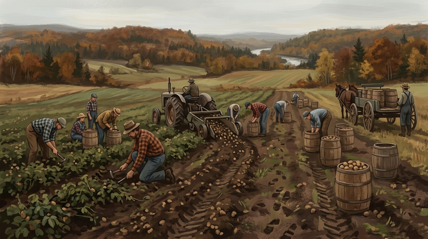
The Saint John River forms the northeastern boundary of Van Buren, serving as the international border with Canada where Violette Brook and Caniba Brook empty into its waters. Covering 33.78 square miles of land and 1.08 square miles of water, the town connects directly across the river to Saint-Léonard, New Brunswick, via the Saint Leonard–Van Buren Bridge and a 24-hour port of entry. Along this border corridor, the St. John River provides recreational water access for angling, including sportfishing for trophy muskellunge, supported by a hard-surface public boat ramp with parking for 16 vehicles and a 4,000-by-200-foot seaplane landing area. On land, the region serves as the northern trailhead for the 61-mile Bangor and Aroostook Trail, which follows a former railway corridor south toward Stockholm, while the local Split Cedar Trails offer more than 11 miles of paths for hiking, mountain biking, snowshoeing, and cross-country skiing alongside snowmobile routes like Interconnected Trail System Route 81.
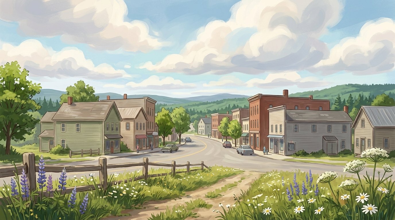
Fleeing British expulsion, Acadians relocated upriver and established a settlement in 1791 near Keegan to farm and engage in lumbering. Incorporated in 1881 and named in honor of eighth U.S. President Martin Van Buren, the community preserves this pioneering spirit at the Acadian Village living history museum. Listed on the National Register of Historic Places and opened to the public in 1976 as an American Bicentennial project, the 17-building site operated by Notre Héritage Vivant includes the late-1700s Roy House built of squared logs with a dirt floor using stacked-and-pegged pièce-sur-pièce construction. Visitors to the St. John Valley region encounter authentic craftsmanship throughout the grounds, including traditional maritime ship knees used for structural bracing in the Acadian barn and the mid-1850s Morneault House, as well as the Notre Dame de l'Assumption Chapel log replica, whose belfry houses one of the oldest bells in the St. John Valley. Closer to the town center, the Queen Anne style Fortunat O. Michaud House on Main Street recalls the prominent early merchant era.
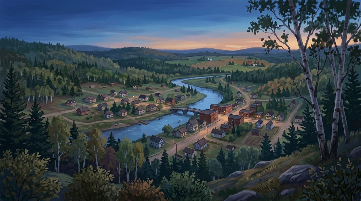
Daily life and community ties continue to bridge the international border through shared celebrations such as the Festival des deux rives and the Tintamarre noise parade during the Grande Rivière Festival, where processions extend across the river into New Brunswick. Locally, healthcare and social assistance forms the largest employing sector, with Borderview Rehabilitation & Living Center providing skilled nursing, residential care, and rehabilitation services. Public education is anchored by Maine School Administrative District #24 through the Van Buren District School and Van Buren Regional Technology Center, while Northern Girl LLC operates a commercial facility flash-freezing locally grown root crops and produce. With economic initiatives guided by the Build Van Buren Corporation and federal security provided by the U.S. Border Patrol station and port of entry, the town links travelers seamlessly across U.S. Route 1 toward Madawaska and Caribou, and south via Route 1A toward Limestone.
Communities in St. John Valley
A remote wilderness community surrounded by untouched nature and outdoor adventure. Cyr Plantation Plantation · pop. 78
Historic rural plantation in the St. John Valley Fort Kent Town · pop. 4,067
A scenic border town rich in Acadian hertiage and Northern Maine charm. Frenchville Town · pop. 1,052
A Saint John River town in Maine Grand Isle Town · pop. 366
A Saint John River town in Maine Hamlin Town · pop. 166
Border town along the Saint John River Madawaska City · pop. 3,867
A welcoming riverfront community rich in Acadian culture and tradition. New Canada Town · pop. 310
A St. John Valley town in Maine Van Buren City · pop. 2,038
A riverside community rich in Acadian heritage and small-town pride. Wallagrass Town · pop. 519
A St. John Valley town along Route 11
The outdoors here
The facts behind this page
·
Culture (6)
- Acadian Tintamarre tradition Van Buren
- Van Buren has hosted cultural traditions such as the Tintamarre noise parade during regional celebrations including the Grande Rivière Festival, marking Acadian pride with a procession extending across the St. John River to New Brunswick.[1]
- Acadian Village living history museum Van Buren
- The Acadian Village in Van Buren is a living history museum consisting of 17 buildings that preserve and commemorate the cultural heritage, craftsmanship, and daily life of the Acadian settlers of the St. John Valley. It is listed on the National Register of Historic Places and is operated by Notre Héritage Vivant / Our Living Heritage.[2]
- Festival des deux rives Van Buren
- Van Buren has celebrated regional Acadian heritage and cross-border solidarity with its neighbor St. Léonard, New Brunswick, through community events such as the Festival des deux rives.[3]
- Notre Dame de l'Assumption Chapel Van Buren
- Notre Dame de l'Assumption Chapel at the Acadian Village in Van Buren is a replica of an early eighteenth-century log church, with a belfry that houses one of the oldest bells in the St. John Valley.[2]
- Roy House Van Buren
- The Roy House at the Acadian Village in Van Buren dates to the late 1700s and is constructed of squared logs with a dirt floor, exemplifying late-18th-century Acadian pioneer housing.[4]
- Traditional Acadian ship knee construction Van Buren
- Structures at the Acadian Village in Van Buren, including the Morneault House and the Acadian barn, exhibit traditional Maine Acadian construction details such as 'ship knees' used for structural bracing, reflecting maritime woodworking techniques.[2]
Economy (6)
- Borderview Rehabilitation & Living Center Van Buren
- Borderview Rehabilitation & Living Center is a major healthcare employer in Van Buren operated by North Country Associates, providing skilled nursing, residential care, and rehabilitation services.[5]
- Build Van Buren Corporation Van Buren
- The Build Van Buren Corporation operates as the municipal economic development organization tasked with business attraction, retention, and workforce development in the community.[6]
- Health Care and Social Assistance Employment Van Buren
- Health Care and Social Assistance serves as the largest employing industry sector in Van Buren, accounting for approximately 229 jobs out of the town's total employed workforce.[7]
- Northern Girl Agricultural Processing Van Buren
- Northern Girl LLC operates a commercial vegetable processing and flash-freezing facility in Van Buren that processes locally grown root crops and produce from regional farms.[8]
- Public Education Employment Van Buren
- Maine School Administrative District #24 (MSAD 24 / RSU 88) operates the Van Buren District School and Van Buren Regional Technology Center, serving as a primary public sector employer.[9]
- U.S. Customs and Border Protection Port of Entry Van Buren
- U.S. Customs and Border Protection operates the commercial Van Buren Port of Entry and the Van Buren Border Patrol Station, providing federal border security, inspection, and administration employment.[10]
Geography (6)
- Bangor and Aroostook Trail northern trailhead Van Buren
- The Bangor and Aroostook Trail, a multi-use recreational trail following a former railway corridor through forests, farmlands, and wetlands, has a trailhead located in Van Buren.[11]
- Border crossing connection to Canada Van Buren
- Van Buren connects across the Saint John River to Saint-Léonard, New Brunswick, via the Saint Leonard–Van Buren Bridge.[12]
- Local streams and watercourses Van Buren
- Violette Brook and Caniba Brook are local waterways that flow through Van Buren and empty into the Saint John River.[13]
- Saint John River boundary Van Buren
- The Saint John River forms the northeastern boundary of Van Buren and serves as the international border between the United States and Canada.[14]
- Split Cedar Trail woodlands Van Buren
- The Split Cedar Trail in the Van Buren area offers an 11-mile woodland trail network used for hiking, snowshoeing, and cross-country skiing.[15]
- Total area and composition of Van Buren Van Buren
- According to the U.S. Census Bureau, the town of Van Buren encompasses a total area of 34.86 square miles, consisting of 33.78 square miles of land and 1.08 square miles of water.[12]
History (7)
- Acadian Settlement in Van Buren Van Buren
- Acadians fleeing British expulsion relocated up the Saint John River and established a settlement in 1791 near Keegan, just north of modern Van Buren's main settlement, to farm and engage in lumbering.[16]
- Acadian Village Museum Van Buren
- The Acadian Village in Van Buren opened to the public in 1976 as an American Bicentennial project and is listed on the National Register of Historic Places to preserve regional Acadian heritage and architecture.[2]
- Bangor and Aroostook Railroad Corridor Van Buren
- Van Buren serves as the northern trailhead for the 61-mile multi-use Bangor & Aroostook Trail, which was developed along the historic rail corridor that transported timber and potatoes south.[11]
- Fortunat O. Michaud House Van Buren
- Built between 1911 and 1917, the Fortunat O. Michaud House on Main Street in Van Buren is a Queen Anne style residence built for a prominent local merchant and state legislator.[16]
- Morneault House Relocation Van Buren
- Built in the mid-1850s, the Morneault House served as a residence and early post office before being donated in 1973 to Notre Héritage Vivant and moved to the Acadian Village in Van Buren.[17]
- Roy House Construction Van Buren
- The Roy House at the Acadian Village in Van Buren dates to circa the 1790s and exemplifies traditional French-Canadian pièce-sur-pièce log construction held in a stacked-and-pegged method.[18]
- Town Incorporation and Naming Van Buren
- Van Buren was incorporated as a town from Van Buren Plantation on February 11, 1881, and named in honor of eighth U.S. President Martin Van Buren.[16]
Recreation (5)
- Bangor and Aroostook Trail Northern Terminus Van Buren
- The Bangor and Aroostook Trail has its northern terminus in Van Buren, following a former railroad corridor south toward Stockholm and connecting into the regional multi-use trail network.[19]
- Interconnected Trail System 81 Access Van Buren
- Interconnected Trail System (ITS) Route 81 runs through Van Buren, providing snowmobilers with trail connections southward toward Limestone as well as access along the international border corridor.[20]
- Split Cedar Trails Van Buren
- The Split Cedar Trails network in Van Buren covers more than 11 miles of gravel, crushed stone, and woodland trails used for hiking, mountain biking, cross-country skiing, and snowshoeing.[21]
- St. John River Sportfishing Van Buren
- The St. John River along Van Buren provides recreational water access for angling, including sportfishing for trophy muskellunge.[22]
- Van Buren Public Boat Launch Van Buren
- Van Buren maintains a hard-surface public boat ramp on the St. John River with parking accommodations for up to 16 vehicles.[23]
Getting there (8)
- Border Patrol Station Responsibility Van Buren
- The U.S. Border Patrol station in Van Buren oversees an area of responsibility covering 162.6 miles of international border with New Brunswick and Quebec.[10]
- Distance to Caribou Van Buren
- Van Buren is situated approximately 23 miles north of Caribou along U.S. Route 1.[14]
- Distance to Limestone via Route 1A Van Buren
- Traveling south from Van Buren along U.S. Route 1A to Limestone covers a distance of approximately 21 miles.[14]
- Distance to Madawaska Van Buren
- Van Buren is located approximately 24 miles southeast of Madawaska along U.S. Route 1.[14]
- U.S. Route 1 Corridor Van Buren
- U.S. Route 1 passes directly through Van Buren, running northwest toward Madawaska and south toward Caribou.[14]
- U.S. Route 1A Junction Van Buren
- U.S. Route 1A connects with U.S. Route 1 near the southeastern boundary of Van Buren and extends south along the border toward Limestone.[14]
- Van Buren Land Port of Entry Van Buren
- The Van Buren Port of Entry operates 24 hours a day, 7 days a week, connecting the town with Saint-Léonard, New Brunswick via an international bridge across the Saint John River.[24]
- Van Buren Seaplane Base Van Buren
- Van Buren operates a publicly owned seaplane base (FAA identifier 05B) on the Saint John River featuring a designated water landing area measuring 4,000 by 200 feet.[25]
Sources (25)
- Preserving Acadian Culture on Maine's Northern Border — storymaps.arcgis.com , viewed Oct 10, 2026
- Acadian Village - Maine Acadian Culture (U.S. National Park Service) — nps.gov , viewed Oct 9, 2026
- Public Celebrations - Acadian Culture in Maine — acim.umfk.edu , viewed Oct 10, 2026
- Acadian Village | Van Buren, Maine — acadianvillagemaine.org , viewed Oct 10, 2026
- Borderview Rehabilitation & Living Center * | North Country Associates — northcountryassociates.com , viewed Oct 10, 2026
- Economic Development - Town of Van Buren — vanburenmaine.com , viewed Oct 10, 2026
- Van Buren, ME | Data USA — datausa.io , viewed Oct 10, 2026
- Feed the world? This organic food startup would rather not | Guardian sustainable business — theguardian.com , viewed Oct 10, 2026
- High School - MSAD #24 / RSU #88 — msad24.org , viewed Oct 10, 2026
- Van Buren Station | U.S. Customs and Border Protection — cbp.gov , viewed Oct 10, 2026
- A Mighty Little Town Named Van Buren - Play On 1A — playon1a.com , viewed Oct 10, 2026
- Van Buren, Maine - Wikipedia — en.wikipedia.org , viewed Oct 9, 2026
- Van Buren Map 2.pdf - Maine.gov — maine.gov , viewed Oct 10, 2026
- Van Buren (CDP), Maine - Wikipedia — en.wikipedia.org , viewed Oct 9, 2026
- Van Buren Maine Vacation Guide | TravelMaine.com — travelmaine.com , viewed Oct 9, 2026
- Van Buren - Undiscovered Maine — umaine.edu , viewed Oct 10, 2026
- Acadian Village — acim.umfk.edu , viewed Oct 10, 2026
- Acadian Historic Buildings (Roy House) - Van Buren, Aroostook County - Maine.gov — maine.gov , viewed Oct 10, 2026
- Bangor and Aroostook Trail | Maine Trails | TrailLink — traillink.com , viewed Oct 10, 2026
- Maine - Aroostook County - Go Northeast Snowmobiling — gonortheastsnowmobiling.com , viewed Oct 10, 2026
- Aroostook County's Outdoor Playground: Fish, Paddle, Hike & Bike - » UNTAMED Mainer — untamedmainer.com , viewed Oct 10, 2026
- Mastering Muskie Fishing in Maine's Aroostook County — visitaroostook.com , viewed Oct 10, 2026
- Boat Sites: Public Boat Launches: Boating Opportunities: Water Activities: State Parks and Public Lands: Maine DACF — maine.gov , viewed Oct 10, 2026
- Van Buren, Maine - 0108 | U.S. Customs and Border Protection — cbp.gov , viewed Oct 10, 2026
- 05B - Van Buren Seaplane Base - AirNav — airnav.com , viewed Oct 10, 2026
Last updated October 10, 2026.