Reed Plantation
A rural plantation in southern Aroostook County
Weather in Reed Plantation
Loading the forecast…
 Your logo here
This page could be sponsored
Your business name here
Sponsor This Page
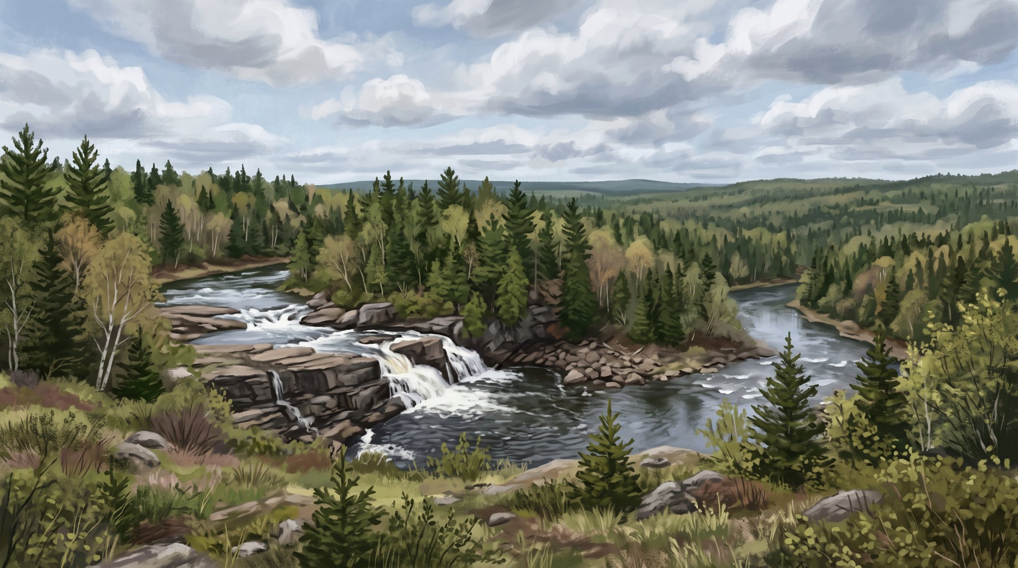
Located in southern Aroostook County along the Penobscot County border, Reed Plantation is home to 129 residents across 59.0 square miles of land. The plantation includes the village of Wytopitlock, an Abenaki name meaning 'a place where there are alders,' through which the Mattawamkeag River flows.
About Reed Plantation
Reed Plantation is a rural community situated in southern Aroostook County, Maine, along the Penobscot County border. In survey records, it carries the designation Township 1, Range 3, West of the Easterly Line of the State (T1 R3 WELS). The plantation sits at an elevation of 443 feet above sea level and covers a total area of 59.2 square miles, which includes 59.0 square miles of land and 0.23 square miles of water. The ZIP code serving Reed Plantation is 04497, associated with the local village of Wytopitlock. 'Wytopitlock' comes from an Abenaki name translating to 'a place where there are alders.'
The plantation borders Glenwood Plantation to the north, Bancroft Township and Drew Plantation to the east, Kingman Township and Upper Molunkus Township to the south, and Silver Ridge Township and T1 R5 WELS to the west.
Community and Demographics
At the 2000 census, Reed Plantation had 207 residents, 74 households, and 108 housing units. The population dropped 22.2% by 2010 to 161 residents, with a median age of 47.9 years. By the 2020 Census, the population stood at 129 people living across the plantation's 59.0 square miles of land, marking a 19.9% decrease from 2010. Recent American Community Survey 5-year estimates report a median age of 55.0 years.
Geography and Outdoor Recreation
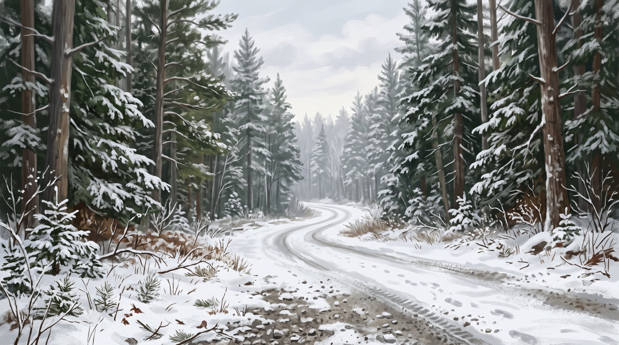
The Mattawamkeag River flows through the plantation and the village of Wytopitlock, providing aquatic habitat and paddling opportunities. Wytopitlock Lake borders the northeastern section of the plantation. Other local waterways include Reed Pond, Wytopitlock Stream, Macwahoc Stream, and Alder Brook.
A working forest conservation easement across the 32,400-acre Reed Forest was donated to the Forest Society of Maine. This easement protects wetlands, rivers, and wildlife habitat along the Mattawamkeag River while keeping the land open for public recreation. Activities supported in Reed Forest include:
- Snowmobiling and ATV access
- Hunting and fishing
- Paddling and wildlife observation
In the village center of Wytopitlock, visitors will also find the Wytopitlock Veterans Memorial, which honors local service members.
Economy and Infrastructure
Reed Plantation is part of the Greater East Grand Region economic planning area, which historically relied heavily on farming and forest products. Under the U.S. Bureau of Labor Statistics, it is categorized within the Northeast Maine nonmetropolitan statistical area. In January 2023, the community received funding from the Maine Connectivity Authority to expand high-speed fiber broadband infrastructure.
Education
Reed Plantation is a member of the Eastern Maine Area School System (AOS 90), an Alternative Organizational Structure formed under Maine's 2007 school administrative reorganization law. Under AOS 90, Reed Plantation retains its own local school board and budget alongside shared district administration. Educational services are provided by Maine School Administrative District 30 (MSAD 30):
- Pre-kindergarten through 4th grade students attend Lee/Winn Elementary School in Winn.
- Grades 5 through 8 attend Mount Jefferson Junior High School in Lee.
- Secondary students are tuitioned to Lee Academy, an independent secondary school established in 1845 in Lee, Maine.
Transportation and Public Services
Reed Plantation is served by U.S. Route 2A (Military Road) and Maine State Route 171. Maine State Route 171 reaches its northern terminus at its intersection with U.S. Route 2A within the plantation. By road, Reed Plantation is located about 80 miles north of Bangor and just under 40 miles from both Houlton and Lincoln. Aroostook Regional Transportation System provides demand-response and scheduled door-to-door public transportation services across the county.
Fire protection is handled by the Reed Plantation Fire Department (also known as the Reed Plantation Volunteer Fire Department). Emergency dispatch for the fire department, as well as county cellular 911 calls, is managed by the Maine State Police Houlton Regional Communications Center. Law enforcement is provided by the Maine State Police and the Aroostook County Sheriff's Office, as the plantation does not operate a municipal police force.
History of Reed Plantation
The history of Reed began in 1830 when John Clifford arrived as the first settler of the area. On June 6, 1843, the community was organized as a plantation from Township 1, Range 3 WELS, and it was subsequently reorganized in 1853, 1860, 1876, and 1896. Postal service grew during this time, starting with the establishment of the Wytopitlock post office in Reed Plantation on February 23, 1874, followed by a post office operating under the name Reed Plantation from June 24, 1878, until November 15, 1906.
By 1886, Reed had a train station served by the European and North American Railroad. The community's borders also shifted over the years; on March 5, 1889, Aroostook County gained territory when Reed Plantation annexed land set off from Drew Plantation. That annexation was later repealed on March 28, 1903, when land was set off from Reed Plantation back to Drew Plantation.
See the history facts and their sources in Quick facts below.
Quick facts
·
Population
- 2000 Census Households
- At the 2000 decennial census, Reed Plantation had 74 households and 108 total housing units.[1]
- 2010 Census Median Age
- At the 2010 Census, the median age of residents in Reed Plantation was 47.9 years.[2]
- 2020 Census Population
- Reed Plantation had a total population of 129 according to the 2020 Decennial Census.[1]
- 2020 Census Population
- According to the 2020 U.S. Census, Reed Plantation had a total population of 129.[1]
- American Community Survey Median Age
- According to recent U.S. Census Bureau American Community Survey 5-year estimates reported by Census Reporter, the median age in Reed Plantation is 55.0 years.[3]
- Historical Population (2000 to 2010)
- The plantation experienced a 22.2% drop in population between 2000 and 2010, declining from 207 residents to 161.[1]
- Population Change (2010 to 2020)
- Reed Plantation's population decreased by 19.9% between 2010 and 2020, falling from 161 residents to 129.[1]
History (9)
- Boundary Change with Drew Plantation (1889)
- On March 5, 1889, Aroostook County gained territory when Reed Plantation annexed land set off from Drew Plantation.[4]
- Boundary Change with Drew Plantation (1903)
- On March 28, 1903, the annexation was repealed and land was set off from Reed Plantation back to Drew Plantation.[4]
- First Settler
- John Clifford became the first settler of the area when he settled there in 1830.[5]
- Organization as Plantation
- Reed was organized as a plantation on June 6, 1843, from Township 1, Range 3 WELS.[6]
- Original Organization Date
- Reed Plantation was first organized from Township Number 1, Range 3 WELS on June 6, 1843.[7]
- Railroad Service
- By 1886, Reed had a train station served by the European and North American Railroad.[5]
- Reed Plantation Post Office
- A post office operated specifically under the name Reed Plantation from June 24, 1878, until November 15, 1906.[7]
- Reorganizations
- Reed Plantation was subsequently reorganized in 1853, 1860, 1876, and 1896.[7]
- Wytopitlock Post Office
- The Wytopitlock post office in Reed Plantation was first established on February 23, 1874.[7]
Schools (6)
- Alternative Organizational Structure Membership
- Reed Plantation is a member of Eastern Maine Area School System (AOS 90), an Alternative Organizational Structure formed under Maine's 2007 school administrative reorganization law.[8]
- Elementary School Placement
- Lee/Winn Elementary School, located in Winn, serves students in pre-kindergarten through 4th grade within MSAD 30.[9]
- Junior High School Placement
- Mount Jefferson Junior High School, located in Lee, serves students in grades 5 through 8 within MSAD 30.[9]
- Local School Governance Structure
- As part of AOS 90, Reed Plantation retains its own local school board and local school budget alongside the shared AOS 90 board and administration.[8]
- MSAD 30 Educational Services
- Reed Plantation is served by Maine School Administrative District 30 (MSAD 30), which operates Lee/Winn Elementary School and Mount Jefferson Junior High School.[9]
- Secondary Education Arrangement
- Secondary students in MSAD 30 are tuitioned to Lee Academy, an independent secondary school established in 1845 in Lee, Maine.[9]
Economy (4)
- 2020 Census Population Base
- At the 2020 U.S. Census, Reed Plantation had a total resident population of 129 people living across a land area of 59.0 square miles.[1]
- Broadband Infrastructure Investment
- In January 2023, Reed Plantation was included among rural Maine communities awarded funding by the Maine Connectivity Authority to expand high-speed fiber broadband infrastructure.[10]
- Labor Market Area Designation
- Under the U.S. Bureau of Labor Statistics Occupational Employment and Wage Statistics program, Reed Plantation is classified within the Northeast Maine nonmetropolitan statistical area.[11]
- Regional Natural Resource Industries
- Reed Plantation is included in the Greater East Grand Region economic planning area, which historically relied heavily on the forest products and farming industries.[12]
Landmarks (1)
- Wytopitlock Veterans Memorial
- The Wytopitlock Veterans Memorial is located in Reed Plantation's village center of Wytopitlock and honors local military veterans.[5]
Recreation (3)
- Mattawamkeag River Waterway
- The Mattawamkeag River flows through the plantation and its primary village of Wytopitlock, providing aquatic habitat and recreational paddling opportunities.[5]
- Reed Forest Conservation Easement
- A working forest conservation easement across the 32,400-acre Reed Forest was donated to the Forest Society of Maine, protecting wetlands, rivers, and wildlife habitat along the Mattawamkeag River while maintaining public recreation.[13]
- Reed Forest Recreational Activities
- Recreational opportunities supported within Reed Forest include snowmobiling, ATV access, hunting, fishing, paddling, and wildlife observation.[13]
Culture (2)
- Indigenous Name Origin of Wytopitlock
- Reed Plantation contains the village of Wytopitlock, an Abenaki name translating to 'a place where there are alders.'[14]
- Wytopitlock Veterans Memorial
- The village of Wytopitlock within Reed Plantation hosts the Wytopitlock Veterans Memorial honoring local service members.[14]
Transportation (4)
- Distance to Bangor, Houlton, and Lincoln
- Reed Plantation is located approximately 80 miles north of Bangor, and just under 40 miles from both Houlton and Lincoln.[15]
- Primary highway routes
- Reed Plantation is served by U.S. Route 2A and Maine State Route 171, which intersect within the plantation.[16]
- Regional public transit service
- Aroostook Regional Transportation System provides demand-response and scheduled door-to-door public transportation services across Aroostook County communities.[17]
- State Route 171 northern terminus
- Maine State Route 171 has its northern terminus at an intersection with U.S. Route 2A (Military Road) in Reed Plantation.[16]
Services (4)
- Emergency Fire Dispatch
- Emergency communications and dispatching services for the Reed Plantation Fire Department are handled by the Maine State Police Houlton Regional Communications Center.[18]
- Fire Department
- Reed Plantation maintains the Reed Plantation Fire Department (also known as Reed Plantation Volunteer Fire Department) to provide fire protection services.[18]
- Police Coverage
- Reed Plantation does not operate a local municipal police department; primary law enforcement coverage is provided by the Maine State Police and the Aroostook County Sheriff's Office.[19]
- Public Safety Answering Point
- 911 cellular calls originating in Aroostook County, including Reed Plantation, are answered and routed by the Houlton Regional Communications Center.[18]
Geography (7)
- Bordering and Local Water Bodies
- Wytopitlock Lake borders the northeastern section of Reed Plantation, with local bodies of water including Reed Pond, Wytopitlock Stream, Macwahoc Stream, and Alder Brook.[20]
- Bordering Communities
- Reed Plantation borders Glenwood Plantation to the north, Bancroft Township and Drew Plantation to the east, Kingman Township and Upper Molunkus Township to the south, and Silver Ridge Township and T1 R5 WELS to the west.[20]
- Elevation
- The elevation of Reed Plantation is listed as 443 feet above sea level.[21]
- Location and Survey Designation
- Reed Plantation is located in southern Aroostook County, Maine, along the Penobscot County border, and is designated as Township 1, Range 3, West of the Easterly Line of the State (T1 R3 WELS).[20]
- Total Area
- The plantation covers a total area of 59.2 square miles, consisting of 59.0 square miles of land and 0.23 square miles of water.[1]
- Total Area
- According to the U.S. Census Bureau, Reed Plantation has a total area of 59.2 square miles (153.3 square kilometers), of which 59.0 square miles is land and 0.23 square miles is water.[1]
- ZIP Code
- Reed Plantation is served by ZIP code 04497, associated with the community of Wytopitlock.[5]
Businesses in Reed Plantation
Map of Reed Plantation
Nearby communities
All communities in The County
St. John Valley
Central Aroostook
Southern Aroostook
Sources (21)
- Reed Plantation, Maine - Wikipedia — en.wikipedia.org , viewed Oct 11, 2026
- Maine: 2010 - IPUMS USA — ipums.org , viewed Oct 11, 2026
- Reed plantation, Aroostook County, ME - Profile data - Census Reporter — censusreporter.org , viewed Oct 11, 2026
- Maine: Individual County Chronologies - Newberry Library — digital.newberry.org , viewed Oct 11, 2026
- Reed - Undiscovered Maine — umaine.edu , viewed Oct 11, 2026
- Sell Reed Plantation's surplus for more, for free | Municibid — municibid.com , viewed Oct 11, 2026
- Reed Plantation Postal History - Maine Philatelic Society — mainephilatelic.org , viewed Oct 11, 2026
- AOS 90 - EMASS — aos90.org , viewed Oct 11, 2026
- About Us - MSAD 30 — msad30.org , viewed Oct 11, 2026
- News (All) - Maine Connectivity Authority — maineconnectivity.org , viewed Oct 11, 2026
- May 2023 OES County Links to Metropolitan and Nonmetropolitan Area Pages - Bureau of Labor Statistics — bls.gov , viewed Oct 10, 2026
- Greater East Grand Region Economic Development Plan: 2020 - 2030 — eastgrandmaine.us , viewed Oct 11, 2026
- Reed Forest - Forest Society of Maine — fsmaine.org , viewed Oct 11, 2026
- Reed - Undiscovered Maine — umaine.edu , viewed Oct 11, 2026
- Off Grid Land with Owner Financing For Sale - Lifestyle Properties of Maine — lifestylepropertiesofmaine.com , viewed Oct 11, 2026
- Maine State Route 171 - Wikipedia — en.wikipedia.org , viewed Oct 11, 2026
- Aroostook Regional Transportation: Home — aroostooktransportation.org , viewed Oct 9, 2026
- Communications Centers | Department of Public Safety - Maine.gov — maine.gov , viewed Oct 11, 2026
- Municipalities - Maine.gov — maine.gov , viewed Oct 11, 2026
- Reed Plt. - Maine.gov — maine.gov , viewed Oct 11, 2026
- Aroostook County Elevations - Cooperative Extension: Food & Health — extension.umaine.edu , viewed Oct 9, 2026