Central Aroostook
Farmland, Forests, and River Towns
Central Aroostook County is defined by the winding path of the Aroostook River, rich agricultural soils, and deep forest reserves. Towns like Presque Isle, Caribou, and Fort Fairfield blend enduring farming traditions and industrial enterprise with accessible trails and waterways.
Weather around the region
Forecasts for the region’s largest towns. Conditions can differ across a region this size.
 Your logo here
This page could be sponsored
Your business name here
Sponsor This Page
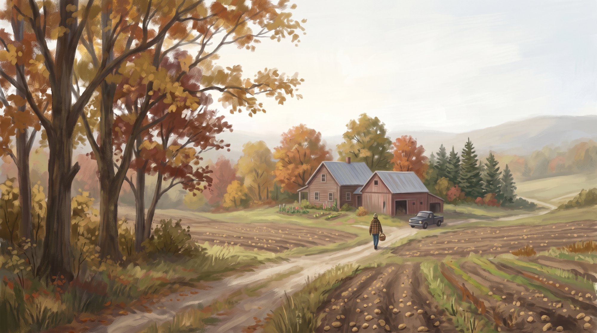
Across central Aroostook County, the land shifts from fertile farm acreage to thick timberlands. Dominating the landscape around Presque Isle and Caribou are the Caribou series soils, shaped from glacial till over metamorphosed limestone, sandstone, and shale. Caribou sits near the geographic center of the county, while to the south, Maine's first state park, Aroostook State Park, encompasses over 800 acres around Echo Lake and the twin peaks of Quaggy Jo Mountain. The Aroostook River winds eastward and northeastward through Ashland, Presque Isle, Caribou, and Fort Fairfield before crossing into New Brunswick, Canada. Out in the woods, Portage Lake covers 2,474 acres within the Fish River chain of lakes, while Mars Hill Mountain rises to host Big Rock Mountain ski area and a summit trail section that looks toward Mount Katahdin.
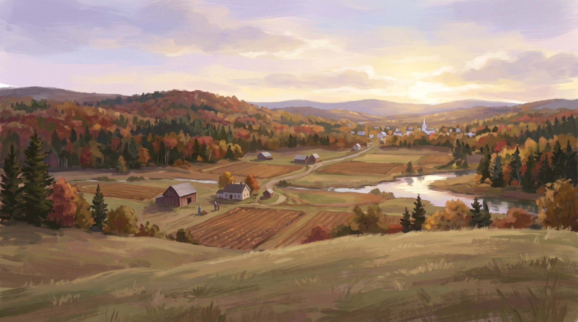
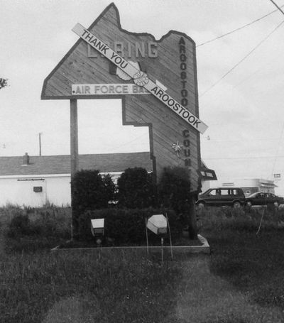
The history of this border territory is rooted in early timber disputes, community settlement, and international defense. In 1828, Dennis Fairbanks built a home, sawmill, and gristmill along Presque Isle Stream, and the community of Caribou was later incorporated in 1859, having originally borne the name Lyndon. Fort Fairfield established a defensive fortification during the undeclared 1839 Aroostook War, an event that led Maine to officially create Aroostook County. Nearby, diplomat William Widgery Thomas Jr. brought 51 Swedish immigrants to found New Sweden in 1870, establishing a heritage celebrated each summer through the traditional Midsommar festival. Decades later, the military constructed what became Loring Air Force Base in Limestone, serving as a Strategic Air Command base until its closure in 1994, when thousands of its acres were transitioned into the Aroostook National Wildlife Refuge and the commercial Loring Commerce Centre.
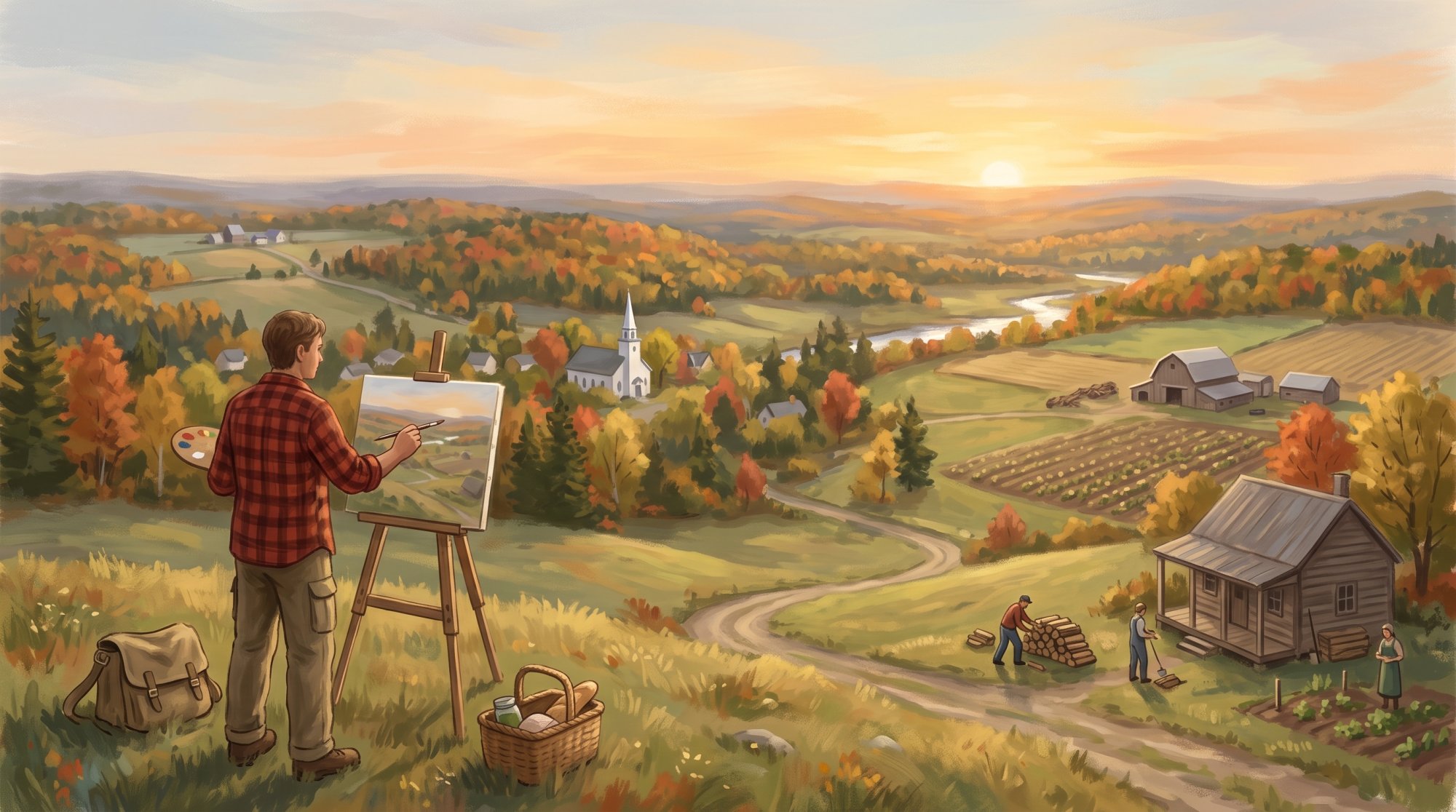
Modern industry and civic life across the towns remain tied to natural resources, healthcare, and public service. Major employers anchor the regional economy, including Northern Light A.R. Gould Hospital, Cary Medical Center, and the Defense Finance and Accounting Service facility in Limestone. In Easton, McCain Foods operates a potato processing plant alongside Huber Engineered Woods, while forest product operations such as the Irving Forest Products sawmill and Northeast Pellets in Ashland, as well as the Maine Woods Company sawmill in Portage Lake, sustain northern timber traditions. Alongside this industry, Fort Fairfield honors the region's agricultural roots with the annual Maine Potato Blossom Festival, while the Mi'kmaq Nation preserves deep tribal traditions through its Cultural Community Education Center and the annual Mawiomi of Tribes.
Communities in Central Aroostook
A peaceful community surrounded by farmland. Bridgewater Town · pop. 532
A rural community in eastern Aroostook County Caribou City · pop. 7,396
The all season community to work, play, grow in and call home. Castle Hill Town · pop. 373
Rural community in central Aroostook County Caswell Town · pop. 293
Where open farmland meets the quiet beauty of life near the canadian border. Chapman Town · pop. 491
A rural community in Aroostook County Easton Town · pop. 1,320
A historic farming community in Aroostook County Fort Fairfield Town · pop. 3,322
A welcoming farming community rooting in tradition. Limestone Town · pop. 1,526
A close-knit community rich in history and northern Maine charm. Mapleton Town · pop. 1,886
A historic agricultural community in Aroostook County Mars Hill Town · pop. 1,360
A scenic northern town with rich traditions. Monticello Town · pop. 737
Historic rural town in southern Aroostook County New Sweden Town · pop. 577
Historic Swedish agricultural colony in Aroostook County Perham Town · pop. 371
An Aroostook County town incorporated in 1897 Presque Isle City · pop. 8,797
Northern Maine's Regional Service and Community Hub Stockholm Town · pop. 250
Historic Maine Swedish Colony town in Aroostook County Wade Town · pop. 229
Rural community along the Aroostook River Washburn Town · pop. 1,527
Historic Aroostook County community along Salmon Brook Westfield Town · pop. 455
An agricultural community in Aroostook County Westmanland Town · pop. 79
Historic Swedish colony town in northern Maine Woodland Town · pop. 1,217
A historic town in Aroostook County
The outdoors here
The facts behind this page
·
Culture (13)
- Annual Mawiomi of Tribes Caribou
- The Mi'kmaq Nation hosts the annual Mawiomi of Tribes at Spruce Haven in Caribou, an event featuring traditional dancing, drumming, and gatherings dedicated to indigenous cultural heritage.[1]
- Annual Mawiomi of Tribes Presque Isle
- The Mi'kmaq Nation hosts an annual Mawiomi, a traditional gathering dedicated to celebrating Native American song, dance, craft traditions, and community heritage.[2]
- Ashland Logging Museum Ashland
- The Ashland Logging Museum preserves the 20th-century logging and forest industry heritage of northern Maine through displays of vintage machinery, logging camp furnishings, and blacksmith artifacts.[3]
- Founding of New Sweden Colony New Sweden
- New Sweden was established on July 23, 1870, when William Widgery Thomas Jr. brought 51 Swedish immigrants to Aroostook County as part of a state-sponsored settlement initiative.[4]
- Maine Potato Blossom Festival Fort Fairfield
- Fort Fairfield hosts the annual Maine Potato Blossom Festival, a multi-day celebration honoring Aroostook County's farming traditions and agricultural heritage with parades, agricultural exhibits, and community events.[5]
- Maine Potato Blossom Festival Fort Fairfield
- Fort Fairfield hosts the annual Maine Potato Blossom Festival, a multi-day event established to honor the agricultural heritage and family farms of Aroostook County.[6]
- Maine Swedish Colony Heritage Network Caribou
- Caribou participates as an anchor community and repository partner alongside the historic Swedish Colony, which was founded in 1870 to recruit Swedish immigrants to northern Maine.[7]
- Mi'kmaq Nation Cultural Education Center Presque Isle
- The Mi'kmaq Nation operates a Cultural Community Education Center and museum in Presque Isle that exhibits traditional crafts including ashwood basketry and items dating across thousands of years of Micmac culture.[8]
- Mi'kmaq Nation Headquarters and Cultural Center Presque Isle
- The federally recognized Mi'kmaq Nation is headquartered in Presque Isle, where it operates a Cultural Community Education Center and interpretation area highlighting thousands of years of tribal history and traditional arts such as ash and birch bark basketmaking.[2]
- New Sweden Midsommar Celebration New Sweden
- New Sweden observes the traditional Swedish Midsommar festival, an annual event first celebrated by Swedish settlers in the community in 1871 that features maypole decorating and folk dancing.[9]
- Nylander Museum Establishment Caribou
- The Nylander Museum in Caribou was built as a Works Progress Administration project and dedicated in 1939 to house the collections of Swedish-born naturalist Olof O. Nylander.[10]
- Nylander Museum of Natural History Caribou
- The Nylander Museum was dedicated in 1939 as a Works Progress Administration project to house the extensive natural history and geological collections of Swedish-born naturalist Olof O. Nylander.[10]
- Portage Lake Historical Society Museum Portage Lake
- The Portage Lake Historical Society maintains an interactive museum preserving the settlement and community history of the town, including historic schoolhouse artifacts and furnishings from the early 20th-century Portage Lake Tea House.[11]
Economy (15)
- Ashland Wood Pellet Manufacturing Ashland
- Northeast Pellets operates a manufacturing and wholesale facility in Ashland producing wood pellets from regional forest products.[12]
- BigRock Mountain Ski Tourism Mars Hill
- BigRock Mountain is a nonprofit ski area on Mars Hill Mountain offering 980 feet of vertical drop and 26 downhill trails.[13]
- Cary Medical Center Workforce Caribou
- Cary Medical Center in Caribou is a 63-bed acute care hospital that employs approximately 540 staff members alongside more than 60 active medical staff providers.[14]
- Defense Finance and Accounting Service Limestone Limestone
- The Defense Finance and Accounting Service (DFAS) maintains an operating site at the Loring Commerce Centre in Limestone.[15]
- Defense Finance and Accounting Service Limestone Site Limestone
- The Defense Finance and Accounting Service (DFAS) operates a facility in Limestone that employs more than 650 accounting and support personnel providing financial services for the Department of Defense.[16]
- Huber Engineered Woods facility Easton
- Huber Engineered Woods manufactures oriented strand board and wood building products at its plant in Easton.[17]
- Irving Forest Products Ashland Mill Workforce Ashland
- The Irving Forest Products sawmill in Ashland operates 24 hours per day, five days per week, and employs more than 100 workers.[18]
- Loring Commerce Centre redevelopment Limestone
- Loring Commerce Centre, redeveloped from the former Loring Air Force Base, provides commercial and industrial facilities hosting more than 20 employers.[19]
- Maine Woods Company Sawmill Operations Portage Lake
- Maine Woods Company operates a commercial hardwood sawmill in Portage Lake that manufactures approximately 14 million board feet of lumber annually.[20]
- McCain Foods processing plant Easton
- McCain Foods operates a major potato processing and french fry manufacturing facility in Easton.[21]
- Nordic Heritage Center outdoor recreation Presque Isle
- The Nordic Heritage Center in Presque Isle provides an extensive trail system for cross-country skiing, hiking, biking, and snowshoeing.[22]
- Northeast Pellets wood manufacturing Ashland
- Northeast Pellets operates a manufacturing plant in Ashland that produces premium wood pellets from bark-free mill residuals.[23]
- Northern Light A.R. Gould Hospital Presque Isle Presque Isle
- Northern Light A.R. Gould Hospital serves as an acute care hospital and healthcare employer providing emergency, primary, and specialty medical care in Presque Isle.[24]
- Northern Light AR Gould Hospital Presque Isle
- Northern Light A.R. Gould Hospital in Presque Isle is an 89-bed acute care hospital and one of the largest employers in Aroostook County.[25]
- Portage Lake Hardwood Mill History Portage Lake
- Maine Woods Company, LLC has operated a hardwood sawmill facility in the industrial park of Portage Lake since 1999.[26]
Geography (14)
- Aroostook River Course Aroostook River
- The Aroostook River flows eastward and northeastward across central Aroostook County through Ashland, Presque Isle, Caribou, and Fort Fairfield before entering New Brunswick, Canada.[27]
- Aroostook River drainage at Fort Fairfield Fort Fairfield
- At the U.S. Geological Survey monitoring station in Fort Fairfield, the Aroostook River drains an upstream watershed area of 2,301 square miles.[28]
- Aroostook River passage through Fort Fairfield Fort Fairfield
- The Aroostook River bisects Fort Fairfield from west to east, flowing for nearly 9.5 miles through the town before reaching the international boundary with Canada.[28]
- Aroostook State Park Features Aroostook State Park
- Aroostook State Park encompasses approximately 800 acres, including Echo Lake and the twin peaks of Quaggy Jo Mountain.[29]
- Aroostook State Park geographic features Presque Isle
- Located south of downtown Presque Isle, Aroostook State Park encompasses more than 800 acres including the peaks of Quaggy Jo Mountain and the shores of spring-fed Echo Lake.[30]
- Caribou Hub and Elevation Caribou
- Caribou sits near the geographic center of Aroostook County, with terrain elevations averaging around 181 meters above sea level.[31]
- Caribou Soil Geography Presque Isle
- The agricultural landscape of the Presque Isle and Caribou area is dominated by Caribou series soils formed in glacial till derived from metamorphosed limestone, sandstone, and shale.[32]
- Caribou topography and borders Caribou
- Caribou encompasses over 80 square miles with elevations ranging from 400 feet along the Aroostook River to 900 feet in its southeast corner, bordered by Presque Isle to the south, Woodland and Washburn to the west, Connor and New Sweden to the north, and Limestone and Fort Fairfield to the east.[33]
- Echo Lake Trail and Elevation Presque Isle
- Trails at Aroostook State Park in Presque Isle climb Quaggy Jo Mountain, reaching an elevation of 1,107 feet on its North Peak.[34]
- Fort Fairfield borders and boundaries Fort Fairfield
- Fort Fairfield spans approximately 78 square miles and is bounded by Limestone to the north, Easton to the south, the Canadian border to the east, and Caribou and Presque Isle to the west.[28]
- Fort Fairfield Eastern Border Fort Fairfield
- Fort Fairfield encompasses roughly 78 square miles consisting mostly of farmland and thick woods, bounded on the east by the Canadian province of New Brunswick.[35]
- Haystack Mountain elevation and viewpoint Mapleton
- Haystack Mountain, located off Route 163 approximately 4 miles west of Mapleton, provides a steep 0.5-mile trail leading to panoramic 360-degree views across Aroostook County's farming landscape.[36]
- Portage Lake Water Body Size Portage Lake
- Portage Lake covers a surface area of 2,474 acres in the Fish River chain of lakes and reaches a maximum depth of 25 feet.[37]
- Portage Lake Wetland Mosaic Portage Lake
- The northeastern lobe of Portage Lake is bordered by an unpatterned fen ecosystem comprising fens, shrub bogs, forested swamps, and emergent marsh.[38]
History (16)
- Aroostook War and County Formation Fort Fairfield
- Border disputes over valuable timber stands in the Aroostook River valley erupted into the undeclared Aroostook War in 1839, leading the State of Maine to establish Aroostook County that same year to assert its jurisdiction before the 1842 Webster-Ashburton Treaty resolved the boundary.[39]
- Caribou initial incorporation as Lyndon Caribou
- The community of Caribou was first incorporated as the town of Lyndon on April 5, 1859.[40]
- Closure of Loring Air Force Base Limestone
- Loring Air Force Base in Limestone officially closed on September 30, 1994, after decades as a key Cold War nuclear deterrence base.[41]
- Dennis Fairbanks settlement in Presque Isle Presque Isle
- In 1828, Dennis Fairbanks became the first permanent United States settler in what became Presque Isle, constructing a home, sawmill, and gristmill along Presque Isle Stream.[42]
- Establishment of Loring Air Force Base Limestone
- Originally initiated as Limestone Army Air Field in 1947 by the U.S. Army Corps of Engineers due to its strategic proximity to Europe, the installation was later named Loring Air Force Base in 1954 in honor of Korean War Medal of Honor recipient Major Charles J. Loring Jr.[43]
- Establishment of the Swedish Colony New Sweden
- On July 23, 1870, a state-sponsored colony of 51 Swedish immigrants organized by diplomat William Widgery Thomas Jr. arrived to found New Sweden in northern Maine's unbroken forest. The settlement quickly expanded into neighboring communities such as Westmanland and Stockholm.[44]
- First Gristmill and Early Settlement of Caribou Caribou
- Early settlers arrived in the area around 1823, and Alexander Cochran built the settlement's first dam and gristmill on Caribou Stream in 1828.[45]
- First Settlement of Presque Isle Presque Isle
- Dennis Fairbanks became the first permanent American settler in Presque Isle in 1828, developing a clearing, a home, a sawmill, and a gristmill along Presque Isle Stream.[46]
- Fort Fairfield blockhouse military origin Fort Fairfield
- A military fortification was established in Fort Fairfield between 1839 and 1843 to defend the disputed border during the Aroostook War.[47]
- Loring Air Force Base establishment Limestone
- Construction on the airfield at Limestone began in 1947 by the U.S. Army Corps of Engineers, serving during the Cold War as a major Strategic Air Command bomber base.[48]
- Lyndon name change to Caribou Caribou
- The town of Lyndon officially changed its name to Caribou in 1877, taking the name from the woodland caribou that formerly roamed the area.[49]
- Presque Isle Town Incorporation Presque Isle
- Originally known as Township Letter F Range 2 and unofficially referred to as Fairbanks, Presque Isle was officially incorporated as a town by the Maine Legislature in 1859.[50]
- Presque Isle town incorporation Presque Isle
- Presque Isle was formally incorporated as a town on April 4, 1859.[51]
- Settlement and Incorporation of Ashland Ashland
- In the 1830s, William Dalton became the first Euro-American to establish permanent residency at the site of the future town of Ashland, which was subsequently incorporated in 1862.[52]
- Settlement and Incorporation of Fort Fairfield Fort Fairfield
- Fort Fairfield was first settled in 1816 and officially incorporated as a town on March 11, 1858. A defensive fort was constructed there during the border conflict known as the Aroostook War.[53]
- Settlement and incorporation of Fort Fairfield Fort Fairfield
- Fort Fairfield was first settled in 1816 and was officially incorporated as a town on March 11, 1858.[54]
Recreation (15)
- Aroostook National Wildlife Refuge Limestone
- Established in 1998 on 4,700 acres of the former Loring Air Force Base, the refuge maintains a multi-use trail network for hiking, wildlife observation, and winter cross-country skiing.[55]
- Aroostook River Water Access and Paddling Aroostook River
- The Aroostook River features a paddling and wild brook trout fishing route between downtown Caribou and Fort Fairfield, supported by public boat access sites off Lower Lyndon Street in Caribou and Riverside Avenue in Fort Fairfield.[56]
- Aroostook State Park Presque Isle
- Established in 1938 as Maine's first state park, Aroostook State Park is located on Echo Lake and offers hiking trails on Quaggy Jo Mountain, camping, and groomed winter trails for cross-country skiing and snowshoeing.[30]
- Aroostook State Park establishment Aroostook State Park
- Aroostook State Park in Presque Isle was established in 1938 after local residents donated 100 acres of land, making it Maine's first state park. The park encompasses Echo Lake and Quaggy Jo Mountain.[57]
- Aroostook Valley Trail Caribou
- The Aroostook Valley Trail is a state-managed, multi-use rail corridor open for year-round recreation, including ATV riding, snowmobiling, walking, and cross-country skiing.[58]
- Aroostook Valley Trail route Aroostook Valley Trail
- The Aroostook Valley Trail is a 28-mile multi-use rail trail converted from the former Aroostook Valley Railroad bed that connects Presque Isle, Caribou, Washburn, Woodland, and New Sweden.[59]
- Big Rock Mountain Mars Hill
- Located on Mars Hill Mountain, Big Rock Mountain provides downhill skiing and snowboarding with 980 vertical feet of terrain and a summit chairlift.[60]
- Big Rock Mountain vertical drop Mars Hill
- Big Rock Mountain in Mars Hill is a community-oriented ski area featuring approximately 980 feet of vertical drop and over 20 trails.[61]
- Fort Fairfield Snowmobile Trail System Fort Fairfield
- Fort Fairfield serves as a local gateway to the regional snowmobile trail network, connecting local routes across agricultural fields to Maine's Interconnected Trail System (ITS).[62]
- International Appalachian Trail over Mars Hill Mountain Mars Hill
- A section of the International Appalachian Trail crosses the summit of Mars Hill Mountain, offering panoramic views across northern Maine towards Mount Katahdin.[63]
- Nordic Heritage Center trails Presque Isle
- The Nordic Heritage Center facility in Presque Isle features 20 kilometers of groomed cross-country ski trails and over 20 miles of mountain bike single-track trails.[64]
- Portage Lake Public Access and Recreation Portage Lake
- Portage Lake covers 2,474 acres within the Fish River chain of lakes and provides public water recreation, including a municipal boat landing and a public swimming beach in the town of Portage Lake.[37]
- Presque Isle Bicycle and Pedestrian Trail Presque Isle
- The Presque Isle Bicycle and Pedestrian Trail is a four-mile paved path following an old Canadian Pacific Railroad bed that extends from North Main Street to Riverside Drive.[65]
- Scopan Public Reserved Land Ashland
- Encompassing 16,700 acres south of Ashland surrounding Scopan Lake, this public reserved land provides hiking on Scopan Mountain, primitive water-access campsites, and over 40 miles of motorized trails for ATVing and snowmobiling.[66]
- Southern Bangor and Aroostook Trail through Mars Hill Mars Hill
- The Southern Bangor and Aroostook Trail runs through downtown Mars Hill along a level railroad corridor that connects Houlton north to Presque Isle.[61]
Getting there (11)
- Caribou Municipal Airport facilities Caribou
- Owned by the City of Caribou, the Caribou Municipal Airport spans approximately 220 acres and includes two paved asphalt runways measuring 4,003 feet and 3,017 feet in length.[67]
- Caribou Municipal Airport Runways Caribou
- Caribou Municipal Airport has two asphalt runways, with Runway 1/19 measuring 4,003 feet and Runway 11/29 measuring 3,016 feet.[68]
- Easton Border Station Easton
- U.S. Customs and Border Protection operates the Easton Station border crossing on Ladner Road.[69]
- Fort Fairfield Land Port of Entry location Fort Fairfield
- The U.S. Customs and Border Protection Fort Fairfield Port of Entry operates at 4 Boundary Line Road on the international border between Fort Fairfield, Maine, and New Brunswick, Canada.[69]
- Fort Fairfield Port of Entry Fort Fairfield
- The U.S. Customs and Border Protection Port of Entry in Fort Fairfield is located at 4 Boundary Line Road and connects with New Brunswick, Canada.[69]
- Limestone Land Port of Entry roadway access Limestone
- The Limestone Land Port of Entry connects to Canada via Maine State Route 229 (Grand Falls Road) east of Limestone town center, linking to New Brunswick Route 375.[70]
- Limestone Port of Entry Limestone
- The Limestone Port of Entry is located at 410 Grand Falls Road and serves as an international border crossing between Maine and New Brunswick.[71]
- Maine State Route 227 Ashland
- Maine State Route 227 connects Ashland and Castle Hill, extending eastward toward Presque Isle.[72]
- Presque Isle Bypass Highway Project Presque Isle
- The Presque Isle Bypass project was designed by MaineDOT to construct an alternate highway corridor from near the Westfield town line to divert heavy traffic from downtown Presque Isle.[73]
- Presque Isle International Airport runway length Presque Isle
- Presque Isle International Airport features two paved runways, including a primary commercial runway measuring 7,440 feet and a secondary runway measuring 6,000 feet.[74]
- Presque Isle International Airport Runways Presque Isle
- Presque Isle International Airport features two paved runways, with the primary runway (Runway 1/19) measuring 7,441 feet in length.[75]
Sources (75)
- Native American Heritage of Aroostook County — visitaroostook.com , viewed Oct 16, 2026
- Aroostook Band of Micmacs - Destination Native America — aianta.org , viewed Oct 10, 2026
- Ashland Logging Museum - TravelMaine.com — travelmaine.com , viewed Oct 10, 2026
- Maine's Swedish Colony | Maine Atlas Project - Maine.gov — maine.gov , viewed Oct 16, 2026
- Fort Fairfield Potato Blossom Festival – Home Town Proud — mainepotatoblossomfestival.com , viewed Oct 9, 2026
- Maine Potato Blossom Festival | Visit Aroostook — visitaroostook.com , viewed Oct 16, 2026
- Maine's Swedish Colony, July 23, 1870 - Welcome - Valkommen — mainememory.net , viewed Oct 10, 2026
- Museum | Mi'kmaq Nation — micmac-nsn.gov , viewed Oct 16, 2026
- In Maine's Swedish Colony, Midsommar is a cultural revival - The County — thecounty.me , viewed Oct 16, 2026
- Nylander Museum - City of Caribou, Maine — cariboumaine.org , viewed Oct 9, 2026
- Portage Lake Historical Society — townofportage.org , viewed Oct 9, 2026
- Loggers Serving Loggers Since 1995 - Professional Logging Contractors of the Northeast — maineloggers.com , viewed Oct 10, 2026
- BigRock Mountain | Visit Maine — visitmaine.com , viewed Oct 10, 2026
- About Cary – Cary Medical Center: Caribou, ME — carymedicalcenter.org , viewed Oct 10, 2026
- Business Directory - Loring Commerce Centre — loringcommercecentre.com , viewed Oct 16, 2026
- Ashley Judkins, Director, DFAS Limestone — dfas.mil , viewed Oct 10, 2026
- Aroostook County employers say construction and manufacturing can be roads to 'sustainable life' for women - Bangor Daily News — bangordailynews.com , viewed Oct 16, 2026
- A major expansion project at Irving Forest Products' Ashland sawmill moved forward this spring after the board of the Finance Authority of Maine approved financing through the state's New Markets Capital Investment Program — facebook.com , viewed Oct 10, 2026
- About - Loring Commerce Centre — loringcommercecentre.com , viewed Oct 16, 2026
- Maine Woods: Doing What's Right For The Forest | Miller Wood Trade Publications — millerwoodtradepub.com , viewed Oct 10, 2026
- Easton, carved from wilderness 150 years ago, ponders future - Bangor Daily News — bangordailynews.com , viewed Oct 10, 2026
- Northern Maine - Career Opportunities and Jobs - Northern Light Health — northernlighthealth.org , viewed Oct 16, 2026
- Northeast Pellets, LLC – Premium wood pellets made from 100% bark-free wood in Ashland, Maine – 207-435-6230 — northeastpellets.net , viewed Oct 16, 2026
- Sitemap Viewable - Northern Light Health — northernlighthealth.org , viewed Oct 10, 2026
- Healthcare Information | Skyway Industrial Park — skywayindustrialpark.com , viewed Oct 16, 2026
- Mills - Town of Portage Lake, Maine — townofportage.org , viewed Oct 10, 2026
- Overview of the Aroostook River - Undiscovered Maine — umaine.edu , viewed Oct 10, 2026
- A Comprehensive Plan For Fort Fairfield, Maine — fortfairfield.org , viewed Oct 16, 2026
- Aroostook State Park - Visit Maine — visitmaine.com , viewed Oct 10, 2026
- Aroostook State Park - Maine.gov — maine.gov , viewed Oct 10, 2026
- Caribou topographic map, elevation, terrain — en-gb.topographic-map.com , viewed Oct 10, 2026
- Official Series Description - CARIBOU Series — soilseries.sc.egov.usda.gov , viewed Oct 10, 2026
- City of Caribou Comprehensive Plan — cariboumaine.org , viewed Oct 16, 2026
- Aroostook State Park - Hiking Trails - Maine Trail Finder — mainetrailfinder.com , viewed Oct 10, 2026
- About Fort Fairfield — fortfairfield.org , viewed Oct 10, 2026
- Aroostook State Park - Maine.gov — maine.gov , viewed Oct 10, 2026
- Portage Lake Twp., Aroostook County USGS - Maine.gov — maine.gov , viewed Oct 9, 2026
- Focus Areas of Statewide Ecological Significance: Portage Lake Wetland Mosaic - Maine.gov — maine.gov , viewed Oct 10, 2026
- Aroostook War | Maine Atlas Project — maine.gov , viewed Oct 16, 2026
- Welcome to Caribou - Undiscovered Maine — umaine.edu , viewed Oct 10, 2026
- Loring Air Force Base Open House Revives Historic Legacy — 101arw.ang.af.mil , viewed Oct 10, 2026
- Presque Isle: Beginning of a city - The County — thecounty.me , viewed Oct 10, 2026
- LORING HISTORY - LORING AIR MUSEUM — loringairmuseum.org , viewed Oct 16, 2026
- Maine's Swedish Colony | Maine Atlas Project - Maine.gov — maine.gov , viewed Oct 16, 2026
- Who was Alexander Cochran? Part One - The County — thecounty.me , viewed Oct 16, 2026
- Presque Isle: Beginning of a city - The County — thecounty.me , viewed Oct 16, 2026
- Fort Fairfield - Undiscovered Maine — umaine.edu , viewed Oct 10, 2026
- LORING HISTORY - LORING AIR MUSEUM — img1.wsimg.com , viewed Oct 10, 2026
- History of Caribou to Incorporation - City of Caribou, Maine — cariboumaine.org , viewed Oct 10, 2026
- Presque Isle: The Star City - History of Presque Isle - Maine Memory Network — mainememory.net , viewed Oct 16, 2026
- Presque Isle: The Star City - History of Presque Isle - Maine Memory Network — media.mainememory.net , viewed Oct 10, 2026
- About Us - Town of Ashland Maine — townofashland.org , viewed Oct 9, 2026
- About Fort Fairfield — fortfairfield.org , viewed Oct 16, 2026
- About Fort Fairfield — fortfairfield.org , viewed Oct 10, 2026
- Aroostook National Wildlife Refuge — fws.gov , viewed Oct 10, 2026
- Maine River Trips | IFW Blogs — maine.gov , viewed Oct 10, 2026
- Aroostook State Park - Visit Maine — visitmaine.com , viewed Oct 14, 2026
- ATVing: Bureau of Parks and Lands: Maine DACF — maine.gov , viewed Oct 10, 2026
- Aroostook Valley Trail - Maine Trail Finder — mainetrailfinder.com , viewed Oct 9, 2026
- BigRock Mountain | Visit Maine — visitmaine.com , viewed Oct 10, 2026
- Mars Hill Activities - Undiscovered Maine — umaine.edu , viewed Oct 16, 2026
- Snowmobile Trail Map - Town of Fort Fairfield — fortfairfield.org , viewed Oct 10, 2026
- Mars Hill Mountain - Maine Trail Finder — mainetrailfinder.com , viewed Oct 9, 2026
- Northern Maine Community Trails Mountain Biking Trails | Trailforks — trailforks.com , viewed Oct 16, 2026
- Biking - Central Aroostook Chamber of Commerce — centralaroostookchamber.com , viewed Oct 11, 2026
- Recreational Map & Guide to Public Reserved Lands - Maine.gov — maine.gov , viewed Oct 10, 2026
- Airport - City of Caribou, Maine — cariboumaine.org , viewed Oct 10, 2026
- CAR - Caribou Municipal Airport - SkyVector — skyvector.com , viewed Oct 16, 2026
- Fort Fairfield, Maine - 0107 | U.S. Customs and Border Protection — cbp.gov , viewed Oct 10, 2026
- Limestone, Maine - 0118 | U.S. Customs and Border Protection — cbp.gov , viewed Oct 10, 2026
- Port of Entry - U.S. Customs and Border Protection — cbp.gov , viewed Oct 16, 2026
- MaineDOT Region 5 - Maine.gov — maine.gov , viewed Oct 16, 2026
- Presque Isle Bypass - ArcGIS StoryMaps — storymaps.arcgis.com , viewed Oct 16, 2026
- Airport - Welcome to Presque Isle, ME — presqueislemaine.gov , viewed Oct 10, 2026
- PQI - Presque Isle International Airport | SkyVector — skyvector.com , viewed Oct 16, 2026




Last updated October 16, 2026.