North Woods
Connected lakes, working forests, and northern traditions
The North Woods region of northern Aroostook County is defined by vast working forests and the interconnected waters of the Fish River Chain of Lakes. Communities along these waterways and roads preserve lumbering traditions, Acadian heritage, and deep connections to the surrounding land.
Weather around the region
Forecasts for the region’s largest towns. Conditions can differ across a region this size.
 Your logo here
This page could be sponsored
Your business name here
Sponsor This Page
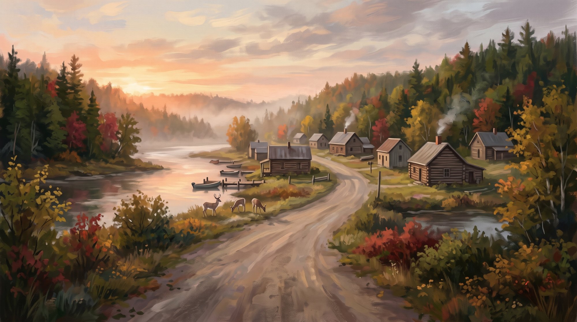
The North Woods region is carved by great waterways and dense working timberlands. The Aroostook River flows northeast through Masardis and Ashland as the largest tributary basin of the Saint John River system, while the Fish River Chain of Lakes—including Portage Lake, Eagle Lake, and Long Lake—drains northward toward the international border. In St. Francis, the Saint Francis River meets the Saint John River, separating Maine from Canada, where the Upper St. John River water trail concludes. Connected waterways and expansive public tracts shape the terrain, from over 23,000 acres in the Eagle Lake Public Reserved Land to nearly 17,000 acres of working forestland and open spaces safeguarded by a conservation easement. Travel through this countryside follows the Fish River Scenic Byway on State Route 11 through Portage Lake, Winterville Plantation, and Eagle Lake, while private arterials like the American Realty Road push westward past the Six Mile Checkpoint into deep forest territories.
The communities throughout these woods were founded along rivers and lakes by early pioneers and loggers. Thomas Goss and his family settled Masardis in 1833, a town that later served as a base for American soldiers during the Aroostook War boundary dispute before incorporating in 1839. William Dalton arrived near the confluence of the Big Machias and Aroostook Rivers in 1835 to become Ashland's first American settler, and Matthew Stevens brought his family to Portage Lake in 1844 to work in the lumber industry. Following the Webster-Ashburton Treaty of 1842, Sifroid Nadeau became the first permanent settler in Eagle Lake, where a French-Canadian and Acadian community later established St. Mary's parish alongside a boarding school and healthcare facility operated by the Little Franciscans of Mary. Further north along the river border, St. Francis grew into an Acadian and French-Canadian community centered on farming and upriver logging.
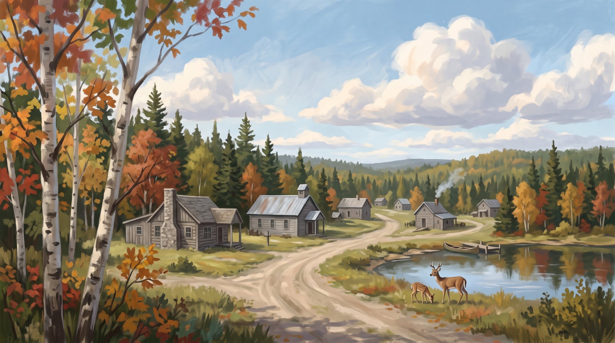
Forestry and agriculture continue to anchor daily life across the region. Irving Forest Products operates a major dimensional lumber sawmill on Portage Road in Nashville Plantation near Ashland, as well as a large spruce and fir sawmill in Masardis. In Portage Lake, Maine Woods Company manufactures hardwood lumber, the Maine Cedar Store produces building materials from northern white cedar and eastern white pine, and Portage Wood Products runs a hardwood chipping facility. Farther northeast in St. Agatha, fourth-generation potato farming by LaBrie Farms, LLC, lumber operations, and recreation around Long Lake sustain the local economy.
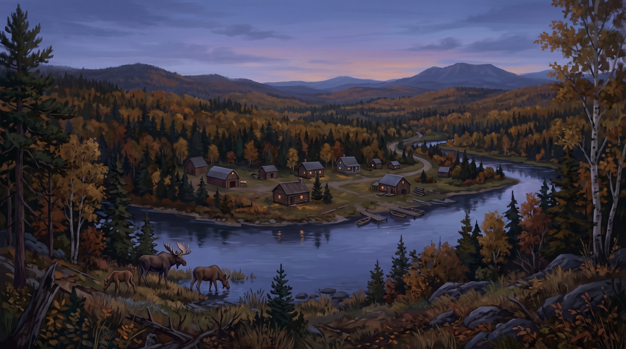
Local culture remains firmly tied to northern heritage, community life, and outdoor recreation. The Ashland Logging Museum preserves woodsmen's tools, a Lombard log hauler, and a replica 19th-century logging camp, while the Ste-Agathe Historical Society cares for the 1854 Pelletier-Marquis House. In Portage Lake, residents observe an annual tradition of recording official spring Ice Out dates and gather at the municipal campground, lakeside beach, and boat launch. Outdoor routes welcome travelers year-round, from the 16.9-mile multi-use Saint John Valley Heritage Trail along the former rail corridor between St. Francis and Fort Kent to paddling along the Fish River Water Trail or hiking the Hedgehog Mountain Trail for views over the North Maine Woods.
Communities in North Woods
A peacefil Northern Maine town surrounded by natural beauty and small-town charm. Eagle Lake Town · pop. 772
A peaceful lakeside town surrounded by natural beauty. Garfield Plantation Plantation · pop. 79
A small plantation community in Aroostook County Masardis Town · pop. 204
Historic northern Maine town along the Aroostook River Nashville Plantation Plantation · pop. 27
A quiet plantation in north-central Aroostook County Portage Lake Town · pop. 359
A tranquil lakeside community surrounded by nature and outdoor adventure. St Agatha Town · pop. 730
Town on Long Lake in Aroostook County St Francis Town · pop. 438
A quiet northern community rich in natural beauty. St John Town · pop. 263
Discover a gem of rural living along Maine's Canadian border. Winterville Plantation Plantation · pop. 194
A northern Aroostook County plantation along Route 11
The outdoors here
The facts behind this page
·
Culture (8)
- Acadian Pond Hockey Classic St Agatha
- St. Agatha hosts the annual Acadian Pond Hockey Classic on Long Lake, a cross-border 3-on-3 pond hockey tournament celebrating the winter sports traditions of the St. John Valley.[1]
- Ashland Logging Museum Heritage Exhibits Ashland
- The Ashland Logging Museum displays artifacts from northern Maine's lumbering traditions, including a replica 19th-century logging camp, a Lombard log hauler, and tools used by woodsmen.[2]
- Eagle Lake Convent and Franco-American Religious Heritage Eagle Lake
- Eagle Lake's French-Canadian and Acadian community established St. Mary's parish along with a boarding school and healthcare facility operated by the Little Franciscans of Mary starting in the early 20th century.[3]
- Pelletier-Marquis House and Ste-Agathe Historical Society St Agatha
- The Ste-Agathe Historical Society preserves regional Acadian and French-Canadian heritage and operates the historic Pelletier-Marquis House, whose oldest portion was constructed in 1854.[4]
- Portage Lake Historical Society Museum Portage Lake
- The Portage Lake Historical Society maintains an interactive museum featuring artifacts that document the lakeside community's history, former schools, and early 20th-century institutions.[5]
- Portage Lake Ice Out Tradition Portage Lake
- The town of Portage Lake maintains formal historical records of 'Ice Out' dates, a community tradition marking the exact day each spring when the lake becomes free of ice.[6]
- St. Francis Historical Society Museum St Francis
- The St. Francis Historical Society preserves local heritage in the former Bangor and Aroostook Railroad station, which served as the northern terminus of the rail line.[7]
- St. John Valley Cultural Byway in St. Francis St Francis
- St. Francis forms part of the St. John Valley Cultural Byway, which commemorates Acadian settlement, French language traditions, and farming history along the Upper St. John River border.[8]
Economy (8)
- Ashland Sawmill Employment Nashville Plantation
- The Ashland sawmill facility supports approximately 140 full-time positions, expanding to around 220 full-time jobs with modernization.[9]
- Ashland Sawmill Operations Nashville Plantation
- Irving Forest Products operates a major dimensional lumber sawmill located on Portage Road in Nashville Plantation near Ashland.[10]
- Commercial Agriculture in St. Agatha St Agatha
- LaBrie Farms, LLC operates a commercial, fourth-generation potato farming enterprise based in St. Agatha.[11]
- Maine Cedar Store Manufacturing Portage Lake
- The Maine Cedar Store operates a sawmill and planer mill in Portage Lake specializing in northern white cedar and eastern white pine building products.[12]
- Maine Woods Company Sawmill Portage Lake
- Maine Woods Company, LLC, an affiliate of Seven Islands Land Company, operates a hardwood sawmill on Fish Lake Road in Portage Lake manufacturing high-grade lumber.[13]
- Masardis Sawmill Ownership Masardis
- Irving Forest Products acquired the Masardis sawmill, one of Aroostook County's largest spruce and fir lumber facilities, which employs around 80 people.[14]
- Portage Wood Products Facility Portage Lake
- Portage Wood Products operates a hardwood chipping facility in Portage Lake capable of chipping up to 350,000 tons of roundwood annually.[15]
- St. Agatha Economic Base and Tourism St Agatha
- Farming, lumber, and outdoor recreation around Long Lake serve as the foundational drivers of St. Agatha's local economy.[16]
Geography (7)
- Aroostook River Drainage Ashland
- The Aroostook River flows northeast through municipalities including Masardis and Ashland as the largest tributary basin of the Saint John River system.[17]
- Ashland Geographic Area Ashland
- The town of Ashland spans an area of 81.54 square miles, consisting of 80.41 square miles of land and 1.13 square miles of water, bounded by municipalities including Masardis, Garfield Plantation, and Nashville Plantation.[18]
- Eagle Lake Water Body Eagle Lake
- Eagle Lake covers 5,581 acres with a maximum water depth reaching over 136 feet, situated within the Fish River chain and adjacent to extensive Maine Public Reserved Land.[19]
- Fish River Chain of Lakes Portage Lake
- The Fish River system includes a chain of interconnected lakes—including Portage Lake, Eagle Lake, and Long Lake—that drain northward through Aroostook County into the Saint John River.[20]
- Fish River Conservation Easement Eagle Lake
- A conservation easement permanently protects nearly 17,000 acres of working forestland and open spaces surrounding lakes in the Fish River chain in northern Aroostook County.[21]
- Long Lake Depth and Area St Agatha
- Long Lake covers roughly 6,000 acres and reaches depths of up to 163 feet, serving as the deepest lake in the Fish River Chain of Lakes system.[22]
- Saint Francis River Border St Francis
- The town of St. Francis sits at the international border where the Saint Francis River flows into the Saint John River, separating Maine from Canada.[23]
History (8)
- Ashland First Settler Ashland
- William Dalton became the first American settler at the site of present-day Ashland in 1835, building his home near the confluence of the Big Machias and Aroostook Rivers.[24]
- Eagle Lake First Settler Eagle Lake
- Permanent settlement in Eagle Lake began following the Webster-Ashburton Treaty of 1842, with Sifroid Nadeau historically credited as the town's first permanent settler.[25]
- Masardis Aroostook War Military Base Masardis
- During the Aroostook War boundary dispute, Masardis served as an important base of operations for American soldiers, several of whom chose to remain and settle there after the conflict.[26]
- Masardis Early Settlement and Incorporation Masardis
- Masardis was first settled in 1833 by Thomas Goss and his family from Danville, Maine, and was later incorporated on March 21, 1839.[26]
- Portage Lake First Settlement Portage Lake
- Matthew Stevens and his family arrived from Litchfield in 1844 to work in the lumber industry, becoming the first permanent settlers of Portage Lake.[27]
- St. Agatha Pelletier-Marquis House St Agatha
- The Pelletier-Marquis House in St. Agatha was constructed in 1854 and is recognized for its connection to the region's early Acadian settlement and architecture.[28]
- St. Francis French-Acadian Heritage St Francis
- Although initially settled by English speakers from southern Maine, St. Francis developed into a predominantly Acadian and French-Canadian community centered on farming and upriver logging operations.[29]
- Winterville Plantation Renaming Acts Winterville Plantation
- Winterville Plantation was renamed Hill by the Maine Legislature on March 28, 1903, before its name was officially changed back to Winterville on February 22, 1907.[30]
Recreation (7)
- Eagle Lake Public Reserved Land Eagle Lake
- Eagle Lake Public Reserved Land encompasses over 23,000 acres, including eastern portions of Eagle Lake and the thoroughfare connecting Eagle Lake to Square Lake. The unit provides opportunities for boating, fishing, snowmobiling, cross-country skiing, and remote camping accessible by water.[31]
- Fish River Water Trail Eagle Lake
- A 4-mile flatwater paddling route runs along the Fish River from the Route 11 bridge through Eagle Lake to the public boat landing on Old Main Street.[32]
- Hedgehog Mountain Trail Eagle Lake
- The Hedgehog Mountain Trail off Route 11 in Eagle Lake leads to a summit overlooking the North Maine Woods, Portage Lake, Fish River, and Saint Froid Lake.[33]
- Portage Lake Municipal Campground and Boat Launch Portage Lake
- The Town of Portage Lake operates a municipal campground and public boat launch at the end of West Road, providing access to Portage Lake for boating and fishing.[34]
- Portage Lake Public Beach and Recreational Area Portage Lake
- Portage Lake maintains a public lakeside beach on West Road featuring picnic facilities and a playground, alongside a town recreational area with a fitness and bike path, tennis and pickleball courts, and athletic fields.[35]
- Saint John Valley Heritage Trail St Francis
- The Saint John Valley Heritage Trail is a 16.9-mile multi-use recreational trail that extends along a former railroad corridor between Saint Francis and Fort Kent, supporting walking, bicycling, snowmobiling, and ATV riding.[36]
- Upper St. John River Canoe Route St Francis
- The Upper St. John River water trail flows north through wilderness areas before terminating at downstream access points such as the town of St. Francis.[37]
Getting there (8)
- American Realty Road Access Ashland
- The American Realty Road originates near Ashland and serves as a major private gravel arterial running westward deep into the North Maine Woods logging territories.[38]
- Distance Between Fort Kent and Winterville Plantation Winterville Plantation
- Winterville Plantation is situated along Maine State Route 11 approximately 25 miles south of Fort Kent, centered around Saint Froid Lake.[39]
- Fish River Scenic Byway on State Route 11 Portage Lake
- State Route 11 traverses Portage Lake, Winterville Plantation, and Eagle Lake as part of the Fish River Scenic Byway connecting the interior forestlands toward Fort Kent.[40]
- Long Lake Seaplane Base St Agatha
- Long Lake Seaplane Base (FAA LID: 92B) operates on Long Lake near Saint Agatha and Sinclair, offering two water landing corridors for bush and recreational flights.[41]
- Saint Francis North Maine Woods Checkpoint St Francis
- Access into the northern forest road system is provided via the Saint Francis Checkpoint located approximately a half mile off Maine State Route 161 on Saint Francis Road.[42]
- Six Mile Checkpoint Distance Ashland
- The Six Mile Checkpoint, an access control gate for entry into the North Maine Woods network, is located six miles west of Ashland along the Realty Road.[38]
- State Route 161 River Corridor St Francis
- Maine State Route 161 parallels the Saint John River through Saint John Plantation and Saint Francis, connecting the towns eastward to Fort Kent.[43]
- State Route 162 Long Lake Link St Agatha
- Maine State Route 162 runs along the western shore of Long Lake through the town of Saint Agatha, providing road access toward Frenchville and U.S. Route 1.[44]
Sources (44)
- Acadian Pond Hockey Classic | Visit Aroostook — visitaroostook.com , viewed Oct 11, 2026
- Ashland Logging Museum - TravelMaine.com — travelmaine.com , viewed Oct 16, 2026
- Eagle Lake convent, Eagle Lake, 1975 - Maine Memory Network — mainememory.net , viewed Oct 16, 2026
- Places To Go - Maine Acadian Culture (U.S. National Park Service) — nps.gov , viewed Oct 9, 2026
- Portage Lake Historical Society Museum opens - The County — thecounty.me , viewed Oct 16, 2026
- Clubs & Town Events - Town of Portage Lake, Maine — townofportage.org , viewed Oct 9, 2026
- St. Francis - Undiscovered Maine — umaine.edu , viewed Oct 16, 2026
- St. John Valley Cultural/Fish River Byway — nsbfoundation.org , viewed Oct 16, 2026
- Major expansion of Ashland Sawmill announced - J.D. Irving — jdirving.com , viewed Oct 16, 2026
- FAME Approves Financing for Ashland Sawmill — famemaine.com , viewed Oct 10, 2026
- LaBrie Farms - Farm Credit — farmcredit.com , viewed Oct 16, 2026
- Contact Us - Maine Cedar Store — mainecedarstore.com , viewed Oct 16, 2026
- Mills - Town of Portage Lake, Maine — townofportage.org , viewed Oct 16, 2026
- Canadian company could pay $240K for Aroostook lumber mill violations - The County — thecounty.me , viewed Oct 16, 2026
- Family of Companies - Seven Islands Land Company — sevenislands.com , viewed Oct 9, 2026
- St. Agatha - St. John Valley Chamber of Commerce — stjohnvalleychamber.org , viewed Oct 16, 2026
- Introduction - Maine.gov — maine.gov , viewed Oct 16, 2026
- About Us - Town of Ashland Maine — townofashland.org , viewed Oct 9, 2026
- Eagle Lake Recreation Area - Visit Maine — visitmaine.com , viewed Oct 16, 2026
- Portage Lake Twp., Aroostook County USGS - Maine.gov — maine.gov , viewed Oct 9, 2026
- Fish River Chain of Lakes - Forest Society of Maine — fsmaine.org , viewed Oct 16, 2026
- Madawaska, Me. - Maine.gov — maine.gov , viewed Oct 10, 2026
- Saint Francis River (Canada–United States) - Wikipedia — en.wikipedia.org , viewed Oct 9, 2026
- Ashland, Maine - Wikipedia — en.wikipedia.org , viewed Oct 9, 2026
- View of Eagle Lake, ca. 1948 - Maine Memory Network — mainememory.net , viewed Oct 16, 2026
- Masardis - Central Aroostook Chamber of Commerce — centralaroostookchamber.com , viewed Oct 10, 2026
- About our Town - Town of Portage Lake, Maine — townofportage.org , viewed Oct 9, 2026
- Pelletier – Marquis House | Maine Historic Preservation Commission — maine.gov , viewed Oct 16, 2026
- St. Charles Church, St. Francis, ca. 1912 - Maine Memory Network — mainememory.net , viewed Oct 16, 2026
- Counties, Cities, Towns and Plantations of Maine — digitalmaine.com , viewed Oct 10, 2026
- Eagle Lake Public Reserved Land | NRCM - Natural Resources Council of Maine — nrcm.org , viewed Oct 16, 2026
- Fish River (ME-11 to Eagle Lake) - Maine Trail Finder — mainetrailfinder.com , viewed Oct 10, 2026
- Eagle Lake Activities - Undiscovered Maine — umaine.edu , viewed Oct 16, 2026
- Portage Lake Campground & Boat Launch — townofportage.org , viewed Oct 16, 2026
- Attractions - Town of Portage Lake, Maine — townofportage.org , viewed Oct 9, 2026
- Saint John Valley Heritage Trail - Maine Trail Finder — mainetrailfinder.com , viewed Oct 9, 2026
- St. John River Canoe Trip Planning Guide - The Nature Conservancy — nature.org , viewed Oct 16, 2026
- Six Mile – North Maine Woods — northmainewoods.org , viewed Oct 16, 2026
- Winterville - Undiscovered Maine — umaine.edu , viewed Oct 16, 2026
- Northern Maine's scenic drives travel past woods, fields and waterways — visit-maine.com , viewed Oct 16, 2026
- Long Lake Seaplane Base (Sinclair, Maine) - Wikipedia — en.wikipedia.org , viewed Oct 16, 2026
- St. Francis - Checkpoints - North Maine Woods — northmainewoods.org , viewed Oct 16, 2026
- Maine State Route 161 - Wikipedia — en.wikipedia.org , viewed Oct 9, 2026
- Maine State Route 162 - Wikipedia — en.wikipedia.org , viewed Oct 16, 2026
Last updated October 16, 2026.