The Webster-Ashburton Treaty
How the border with New Brunswick was drawn
The Webster-Ashburton Treaty resolved decades of frontier friction across Aroostook County by formally establishing the international boundary between Maine and New Brunswick in 1842. The accord brought an end to the Aroostook War, dividing contested borderlands along northern river valleys while shaping local communities for generations.
 Your logo here
This page could be sponsored
Your business name here
Sponsor This Page
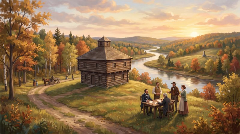
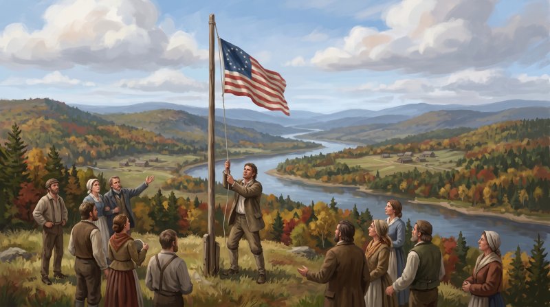
Unclear border descriptions dating back to the 1783 Treaty of Paris created long-standing disputes over territory and timber along the Aroostook and Saint John River valleys, sparking the undeclared 1838–1839 Aroostook War. Tensions flared when American settler John Baker raised an American flag and declared an independent republic in the Madawaska area, and deepened when Maine Land Agent Rufus McIntire led a civil posse into the upper Aroostook River valley and was captured by New Brunswick authorities. Maine Governor John Fairfield moved state forces into the region and signed an act incorporating Aroostook County on March 16, 1839, establishing civilian jurisdiction and pressuring federal authorities to negotiate. Major General Winfield Scott soon arranged a truce between Maine and New Brunswick officials to pull back armed forces and hold the peace until diplomats could conclude a lasting agreement.
The conflict reached its peaceful conclusion on August 9, 1842, when diplomats signed the Webster-Ashburton Treaty, fixing the international border along the Saint John and Saint Francis rivers above Grand Falls. The agreement allocated 7,015 square miles of contested land to the United States and 5,012 square miles to Great Britain. While running the boundary down the Saint John River bisected a culturally homogeneous French-Acadian community into separate jurisdictions, Maine later protected and re-deeded the historic family land titles of Acadian settlers in the Madawaska territory. Exactly one year after the signing, on August 9, 1843, surveyors placed an iron obelisk inscribed 'Treaty of Washington' and 'August 9, 1842' at the headwaters of Monument Brook to mark the new border.
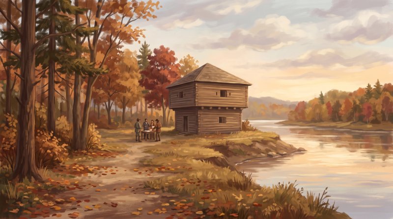
The settlement also transformed military outposts across the county into enduring community landmarks. Captain Stover Rines had led the Maine militia in 1839 to build a fortification at the confluence of the Fish and Saint John rivers, where Captain John Winder later commanded regular U.S. Army troops relieving the militia until the treaty rendered garrisoning obsolete. Federal forces withdrew from Fort Kent in 1843, and its surviving blockhouse now operates as a state historic site and museum alongside historical markers, local treaty collections, and portraits of negotiators Daniel Webster and Lord Ashburton. In Fort Fairfield, where armed mobilization was halted along the Aroostook River, a reconstructed 1839 blockhouse hosts gatherings reflecting on the peaceful compromise. Further south, Garrison Hill in Houlton preserves the memory of Hancock Barracks, which once guarded the frontier before diplomacy settled the northern line.
Where to go: St. John Valley · Central Aroostook · Southern Aroostook
Every fact on this page comes from the sources listed below. Histories are told in many ways, so where sources differ we say so.
The facts behind this history
·
Background and causes (6)
- Creation of Aroostook County Aroostook River
- The State of Maine created Aroostook County in 1839 in order to establish civilian authority and solidify its territorial hold on the disputed area prior to diplomatic settlement.[1]
- Division of the Disputed Territory Saint John River
- The 1842 treaty resolved the Maine-New Brunswick boundary confrontation by assigning 7,015 square miles of the contested territory to the United States and 5,012 square miles to Great Britain.[2]
- Division of the Upper Saint John Valley Communities Saint John River
- By establishing the international border down the Saint John River, the Webster-Ashburton Treaty bisected a culturally homogeneous French-Acadian community into separate American and British jurisdictions.[3]
- Establishment of the Saint John River Border Saint John River
- The Webster-Ashburton Treaty concluded the Aroostook War boundary dispute by establishing the Saint John and Saint Francis rivers as the international border above Grand Falls.[3]
- Resolution of Military Necessity at Fort Kent Fort Kent
- Following the frontier tensions that prompted federal troops to garrison Fort Kent, the signing of the Webster-Ashburton Treaty in 1842 permanently settled the boundary dispute and led to the withdrawal of soldiers.[4]
- Roots of the Aroostook War Aroostook River
- Ambiguous border definitions in the 1783 Treaty of Paris led to competing territorial and valuable timber claims along the Aroostook and Saint John River valleys, culminating in the undeclared 1838–1839 Aroostook War.[1]
Key events and dates (6)
- Division of the Disputed Territory Fort Kent
- Under the 1842 treaty settlement, the United States was awarded 7,015 square miles of the contested territory while Great Britain retained 5,012 square miles.[5]
- Erection of the Iron Boundary Monument Monument Brook
- On August 9, 1843, an iron obelisk boundary marker inscribed with 'Treaty of Washington' and 'August 9, 1842' was erected at the headwaters of Monument Brook to mark the settled international line.[6]
- Incorporation of Aroostook County Aroostook River
- Governor John Fairfield approved an act incorporating Aroostook County on March 16, 1839, establishing Maine's administrative jurisdiction over the disputed northern territory.[7]
- International Boundary along Valley Rivers Saint Francis River
- The Webster-Ashburton Treaty formally established the Saint John River and the Saint Francis River as the international boundary dividing Maine and New Brunswick.[8]
- Signing of the Webster-Ashburton Treaty Saint John River
- The Webster-Ashburton Treaty was signed on August 9, 1842, ending the border dispute between Maine and New Brunswick and establishing the international boundary line.[2]
- Withdrawal of Federal Troops from Fort Kent Fort Kent
- Following the 1842 treaty settlement resolving the border dispute, the U.S. military presence at Fort Kent was diminished, and federal troops were withdrawn in 1843.[4]
Legacy today (6)
- Boundary Monument at Monument Brook Monument Brook
- Following the 1842 Webster-Ashburton Treaty, an iron obelisk marker inscribed 'Treaty of Washington' was erected on August 9, 1843, at the headwaters of Monument Brook to mark the international boundary line.[9]
- Fort Fairfield Blockhouse Museum and Compromise Traditions Fort Fairfield
- The reconstructed 1839 blockhouse in Fort Fairfield functions as a museum and site for community gatherings commemorating the peaceful international compromise achieved by the 1842 Webster-Ashburton Treaty.[10]
- Fort Kent Historical Society Treaty Collections Fort Kent
- The Fort Kent Historical Society preserves 19th-century portraits of treaty negotiators Daniel Webster and Lord Alexander Baring Ashburton as well as contemporary cartoons illustrating the 1842 border settlement.[11]
- Fort Kent State Historic Site Blockhouse Fort Kent
- Built during the border conflict preceding the 1842 Webster-Ashburton Treaty, the Fort Kent Blockhouse stands at the confluence of the Fish and St. John rivers as the only surviving fortification from the dispute and now serves as a historic museum.[12]
- Hancock Barracks Heritage at Garrison Hill Houlton
- Garrison Hill in Houlton marks the site of the former Hancock Barracks, an active federal military post established during the boundary disputes that were ultimately resolved by the 1842 Webster-Ashburton Treaty.[11]
- The Aroostook War Historical Marker Fort Kent
- A roadside historical marker in Fort Kent explains that the 1839 border controversy was settled when the 1842 Webster-Ashburton Treaty awarded 7,015 square miles to the United States and 5,012 square miles to Great Britain.[13]
People (7)
- Acadian Settlers' Land Confirmation under Treaty Terms Madawaska
- Acadian settlers along the Saint John River in the Madawaska territory had their historic family land titles formally protected and re-deeded by Maine after the 1842 Webster-Ashburton Treaty designated the river as the international border.[14]
- Captain John Winder's Command at Fort Kent Fort Kent
- Captain John Winder led regular U.S. Army troops relieving the Maine militia at Fort Kent to maintain border security until the 1842 Webster-Ashburton Treaty settled the boundary line and rendered federal garrisons unnecessary.[4]
- Captain Stover Rines' Fort Kent Blockhouse Construction Fort Kent
- Captain Stover Rines commanded the Maine militia detachment that established the outpost at the confluence of the Fish and Saint John rivers in 1839, which secured the territory until the boundary line was fixed by the Webster-Ashburton Treaty.[4]
- General Winfield Scott's Truce for the Aroostook Region Fort Fairfield
- Major General Winfield Scott brokered a truce between Maine and New Brunswick officials that withdrew active armed forces from the disputed Aroostook borderlands, maintaining peace until the Webster-Ashburton Treaty formally established the boundary line.[15]
- Governor John Fairfield's Defense of Aroostook Borders Fort Fairfield
- Maine Governor John Fairfield ordered state forces into the contested Aroostook region and approved the legislative act creating Aroostook County in 1839, maintaining pressure that forced federal negotiations culminating in the 1842 Webster-Ashburton Treaty.[15]
- John Baker's Border Defiance and Settlement Madawaska
- American settler John Baker raised an American flag and declared an independent republic in the disputed Madawaska territory, sparking diplomatic crises that were ultimately resolved in 1842 when the Webster-Ashburton Treaty established the international boundary along the Saint John River.[16]
- Rufus McIntire's Expedition to the Upper Aroostook Aroostook River
- Maine Land Agent Rufus McIntire was dispatched with a civil posse into the disputed upper Aroostook River valley to arrest provincial trespassers, where his capture by New Brunswick authorities escalated the border dispute leading directly to the 1842 Webster-Ashburton Treaty negotiations.[17]
Places (4)
- Disputed Land Division under Treaty Aroostook River
- Under the 1842 Webster-Ashburton Treaty ending the Aroostook boundary controversy, the United States was awarded 7,015 square miles of the disputed border area while Great Britain received 5,012 square miles.[2]
- Fort Fairfield Blockhouse Border Compromise Fort Fairfield
- The Fort Fairfield Blockhouse site marks the boundary conflict area along the Aroostook River where military mobilization was halted by the compromise of the 1842 Webster-Ashburton Treaty.[18]
- Fort Kent Blockhouse Treaty Resolution Fort Kent
- The Fort Kent Blockhouse, constructed during the Aroostook War boundary dispute, saw its military need diminished after the 1842 Webster-Ashburton Treaty formally settled the border between Maine and New Brunswick, though federal troops remained garrisoned until 1845.[19]
- St. John and St. Francis Rivers International Boundary Saint John River
- The 1842 Webster-Ashburton Treaty established the course of the St. John and St. Francis rivers as the international boundary dividing Maine from New Brunswick above Grand Falls.[8]
Where to learn more (3)
- Fort Fairfield Blockhouse Preservation Fort Fairfield
- The Frontier Heritage Historical Society rebuilt the Fort Fairfield Blockhouse as a historical reminder of the border compromise settled by the 1842 Webster-Ashburton Treaty.[20]
- Fort Kent Blockhouse Historical Record Fort Kent
- The Fort Kent Historical Society maintains local records and artifacts from the 1839 Fort Kent Blockhouse, erected during the border dispute that was ultimately resolved by the Webster-Ashburton Treaty.[21]
- Hancock Barracks Garrison Hill History Houlton
- The Aroostook County Historical and Art Museum preserves history regarding Garrison Hill in Houlton, the site of Hancock Barracks built to defend the border before the boundary was finalized by the 1842 Webster-Ashburton Treaty.[22]
Sources (22)
- Aroostook War | Maine Atlas Project — maine.gov , viewed Oct 16, 2026
- Webster-Ashburton Treaty, 1842 - Milestones in the History of U.S. Foreign Relations - Office of the Historian — history.state.gov , viewed Oct 16, 2026
- American-Canadian Boundary - Acadian Culture in Maine — acim.umfk.edu , viewed Oct 16, 2026
- £ - IT — npgallery.nps.gov , viewed Oct 16, 2026
- The Aroostook War - The Historical Marker Database — hmdb.org , viewed Oct 16, 2026
- Historical trek will locate Maine-N.B. marker - The County — thecounty.me , viewed Oct 16, 2026
- LEGISLATIVE RECORD - HOUSE, March 12, 2014 - Maine State Legislature — maine.gov , viewed Oct 16, 2026
- American-Canadian Boundary - Acadian Culture in Maine — acim.umfk.edu , viewed Oct 16, 2026
- Historical trek will locate Maine-N.B. marker - The County — thecounty.me , viewed Oct 16, 2026
- Amid U.S-Canada tension, a Maine war fort is a reminder of cross-border compromise - Bangor Daily News — bangordailynews.com , viewed Oct 16, 2026
- The Webster-Ashburton Treaty - Maine Memory Network — mainememory.net , viewed Oct 16, 2026
- Fort Kent State Historic Site & Blockhouse - Visit Aroostook — visitaroostook.com , viewed Oct 16, 2026
- The Aroostook War - The Historical Marker Database — hmdb.org , viewed Oct 16, 2026
- National Register of Historic Places Inventory -- Nomination Form — npgallery.nps.gov , viewed Oct 16, 2026
- LEGISLATIVE RECORD - HOUSE, March 12, 2014 - Maine State Legislature — maine.gov , viewed Oct 16, 2026
- Aroostook War | The Canadian Encyclopedia — thecanadianencyclopedia.ca , viewed Oct 16, 2026
- Aroostook War - Wikipedia — en.wikipedia.org , viewed Oct 16, 2026
- Tour the Blockhouses of a Bloodless War | Visit Aroostook — visitaroostook.com , viewed Oct 16, 2026
- Fort Kent Blockhouse - Maine Acadian Culture (U.S. National Park Service) — nps.gov , viewed Oct 16, 2026
- Amid U.S-Canada tension, a Maine war fort is a reminder of cross-border compromise - Bangor Daily News — vertexaisearch.cloud.google.com , viewed Oct 16, 2026
- The Aroostook War - Maine Memory Network — vertexaisearch.cloud.google.com , viewed Oct 16, 2026
- The Garrison | acham - The Houlton Museum — vertexaisearch.cloud.google.com , viewed Oct 16, 2026

Last updated October 16, 2026.